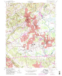
1954 Map of Bernardsville
USGS Topo · Published 1984About this map
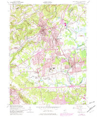
Bernardsville Mountain and the ridge lines of First Watching Mtn frame this mid-century look at the suburbanizing landscape of Somerset and Morris counties. The map captures a moment when historic milling sites like Van Dorans Mills and Osborn Mills sat alongside modern institutional developments, most notably the expansive grounds of the Lyons VA Hosp. Large private estates and recreational grounds, including the Somerset Hills Golf Course, dominate the higher elevations, while the eastern lowlands show the early conservation boundaries of the Great Swamp National Wildlife Refuge.
Find a feature on this map
55 named features on this map. Tap any name to fly to it.
Don’t see what you’re looking for? This feature index may not catch every label — zoom into the map to look around manually.
Map Details
Editions of this 1954 Bernardsville Map
6 editions found
Other maps of this area

1888 · Plainfield
USGS Topo · 1:62,500

1888 · Morristown
USGS Topo · 1:62,500

1888 · Lake Hopatcong
USGS Topo · 1:62,500

1891 · Somerville
USGS Topo · 1:62,500

1893 · Plainfield
USGS Topo · 1:62,500

1893 · Somerville
USGS Topo · 1:62,500

1894 · Morristown
USGS Topo · 1:62,500

1894 · Lake Hopatcong
USGS Topo · 1:62,500

1898 · Lake Hopatcong
USGS Topo · 1:62,500

1898 · Morristown
USGS Topo · 1:62,500
Featured Places
- Bridgewater Township, NJ
- Long Hill Township, NJ
- Bedminster Township, NJ
- Bernardsville, NJ
- Basking Ridge, NJ