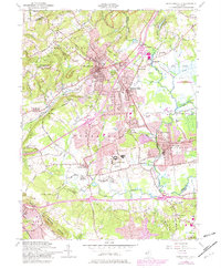
1954 Map of Bernardsville
USGS Topo · Published 1982About this map
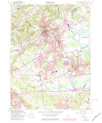
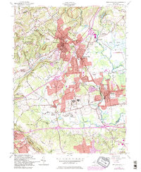
The hills of Morris and Somerset Counties reveal a landscape transitioning from traditional agriculture and industry to suburban estate development at mid-century. While Bernardsville and Basking Ridge appear as established residential hubs, the surrounding countryside preserves older layers of the local economy, including Van Dorans Mills and Osborn Mills along the waterways. The northern reach includes a portion of Morristown National Historical Park, while the eastern side is defined by the massive wetlands of the Great Swamp National Wildlife Refuge. Institutions are prominently featured across the landscape, from the sprawling Lyons VA Hosp to the Bonnie Brae Farm For Boys. The topographical data, rooted in 1942 photogrammetry and updated in 1954, captures the network of Conrail rail lines and roads that connected these communities before the massive expansion of the modern highway system.
Find a feature on this map
47 named features on this map. Tap any name to fly to it.
Don’t see what you’re looking for? This feature index may not catch every label — zoom into the map to look around manually.
Map Details
Editions of this 1954 Bernardsville Map
6 editions found
Other maps of this area

1888 · Plainfield
USGS Topo · 1:62,500

1888 · Morristown
USGS Topo · 1:62,500

1888 · Lake Hopatcong
USGS Topo · 1:62,500

1891 · Somerville
USGS Topo · 1:62,500

1893 · Plainfield
USGS Topo · 1:62,500

1893 · Somerville
USGS Topo · 1:62,500

1894 · Morristown
USGS Topo · 1:62,500

1894 · Lake Hopatcong
USGS Topo · 1:62,500

1898 · Lake Hopatcong
USGS Topo · 1:62,500

1898 · Morristown
USGS Topo · 1:62,500
Featured Places
- Bridgewater Township, NJ
- Long Hill Township, NJ
- Bedminster Township, NJ
- Bernardsville, NJ
- Basking Ridge, NJ