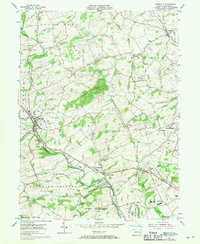
1955 Map of Bernville
USGS Topo · Published 1970About this map
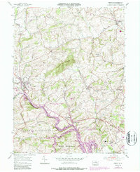
Tulpehocken Creek defines the landscape of central Berks County, winding through several townships and past the borough of Bernville. The map illustrates a transitional era where traditional agricultural patterns meet mid-century county infrastructure. Of particular historical interest is the path of the Union Canal, which follows the creek as a relic of 19th-century transport. The southeastern corner of the map reveals a concentrated cluster of public institutions, including the County Home and Hospital, County Sanatorium, and County Prison, indicating the area's role as a civic hub for the broader region.
Find a feature on this map
41 named features on this map. Tap any name to fly to it.
Don’t see what you’re looking for? This feature index may not catch every label — zoom into the map to look around manually.
Map Details
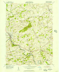
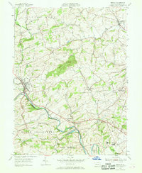
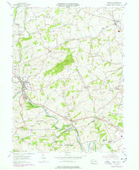
Editions of this 1955 Bernville Map
5 editions found
Other maps of this area

1889 · Pottsville
USGS Topo · 1:62,500

1891 · Pottsville
USGS Topo · 1:62,500

1894 · Reading
USGS Topo · 1:62,500

1902 · Wernersville
USGS Topo · 1:62,500

1909 · Hamburg
USGS Topo · 1:62,500

1911 · Hamburg
USGS Topo · 1:62,500

1913 · Reading
USGS Topo · 1:62,500

1915 · Reading
USGS Topo · 1:62,500

1943 · Wernersville
USGS Topo · 1:62,500

1944 · Reading
USGS Topo · 1:62,500
Featured Places
- North Heidelberg Township, PA
- Bernville, PA
- Centerport, PA
- Penn Township, PA
- Lower Heidelberg Township, PA