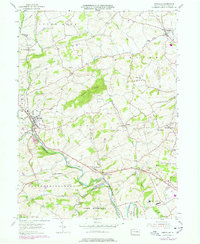
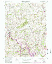
1955 Map of Bernville
USGS Topo · Published 1978About this map
Bernville and Centerport anchor this mid-century Berks County landscape, which reveals a transition from traditional agricultural patterns to established civic infrastructure. The most striking historical feature is the Union Canal (Abandoned), which winds alongside Tulpehocken Creek through the southern portion of the sheet. Its path traces an earlier era of inland water transport that once connected the Susquehanna and Schuylkill rivers.
Find a feature on this map
43 named features on this map. Tap any name to fly to it.
Don’t see what you’re looking for? This feature index may not catch every label — zoom into the map to look around manually.
Map Details
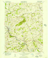
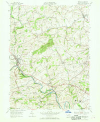
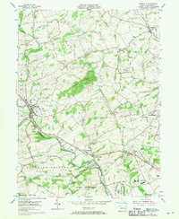
Editions of this 1955 Bernville Map
5 editions found
Other maps of this area

1889 · Pottsville
USGS Topo · 1:62,500

1891 · Pottsville
USGS Topo · 1:62,500

1894 · Reading
USGS Topo · 1:62,500

1902 · Wernersville
USGS Topo · 1:62,500

1909 · Hamburg
USGS Topo · 1:62,500

1911 · Hamburg
USGS Topo · 1:62,500

1913 · Reading
USGS Topo · 1:62,500

1915 · Reading
USGS Topo · 1:62,500

1943 · Wernersville
USGS Topo · 1:62,500

1944 · Reading
USGS Topo · 1:62,500
Featured Places
- North Heidelberg Township, PA
- Bernville, PA
- Centerport, PA
- Penn Township, PA
- Lower Heidelberg Township, PA