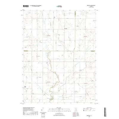
2018 Map of Berryville
USGS Topo · Published 2018About this map
West Salem sits at the southwestern edge of a landscape defined by the winding course of Bonpas Cr, which serves as a natural boundary for several Illinois counties. This part of the state, where Edwards, Richland, Lawrence, and Wabash counties converge, is a patchwork of rural farmsteads and family burial grounds that tell the story of generations of settlement. Small clusters of residents are found near Berryville, while the surrounding terrain is heavily influenced by the drainage basins of Little Bonpas Cr, Higgins Cr, and Jordan Cr. Genealogy researchers will find an unusually high concentration of named cemeteries on this sheet, including Shiloh Number 1 Cem, Walnut Grove Cem, and Welser Cem. These sites, often located near local thoroughfares like Co Hwy 3 or N 2400 Blvd, offer a precise look at the localized distribution of historical homesteads.
Find a feature on this map
58 named features on this map. Tap any name to fly to it.
Don’t see what you’re looking for? This feature index may not catch every label — zoom into the map to look around manually.
Map Details
Editions of this 2018 Berryville Map
This is the sole edition of this map. No revisions or reprints were ever made.
Other maps of this area

1903 · Patoka
USGS Topo · 1:125,000

1904 · Mount Carmel
USGS Topo · 1:62,500

1911 · Sumner
USGS Topo · 1:62,500

1913 · Sumner
USGS Topo · 1:62,500

1943 · Albion
USGS Topo · 1:62,500

1946 · Albion
USGS Topo · 1:62,500

1949 · Olney
USGS Topo · 1:62,500

1956 · Vincennes
USGS Topo · 1:250,000

1957 · Vincennes
USGS Topo · 1:250,000

1958 · Vincennes
USGS Topo · 1:250,000