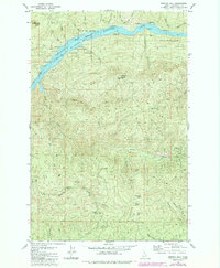
1981 Map of Bertha Hill
USGS Topo · Published 1984About this map
Dworshak Reservoir fills the deep canyons of the North Fork Clearwater River, a defining feature of this Idaho wilderness as it appeared in the early 1980s. The map illustrates a landscape managed for both timber and recreation, with numerous designated campgrounds lining the shores of the reservoir and the river banks within the St Joe Nat For and Clearwater National Forest. The presence of the Lookout Tower atop Benton Butte speaks to the region's history of fire management and forestry surveillance.
Find a feature on this map
33 named features on this map. Tap any name to fly to it.
Don’t see what you’re looking for? This feature index may not catch every label — zoom into the map to look around manually.
Map Details
Editions of this 1981 Bertha Hill Map
2 editions found
Other maps of this area

1923 · Washington Creek
USGS Topo · 1:125,000

1936 · Boehls Butte
USGS Topo · 1:48,000

1938 · Headquarters
USGS Topo · 1:48,000

1943 · Boehls Butte
USGS Topo · 1:62,500

1944 · Headquarters
USGS Topo · 1:62,500

1956 · Hamilton
USGS Topo · 1:250,000

1959 · Hamilton
USGS Topo · 1:250,000

1960 · Hamilton
USGS Topo · 1:250,000
1963 · Buzzard Roost
USGS Topo · 1:24,000

1964 · Hamilton
USGS Topo · 1:250,000