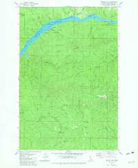
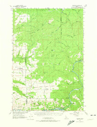
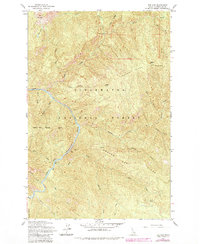
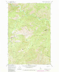
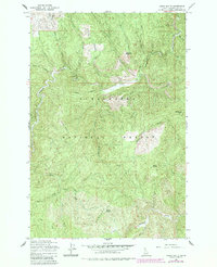
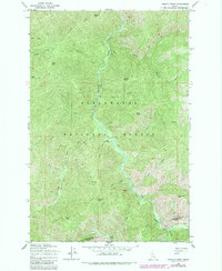
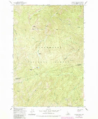
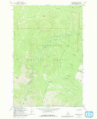
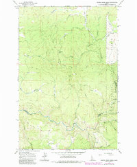
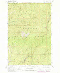
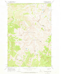
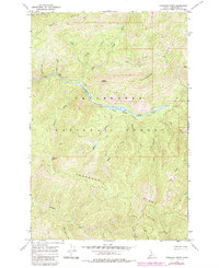
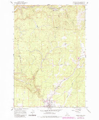
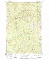
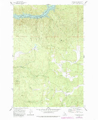
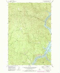
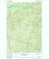
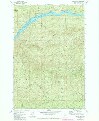
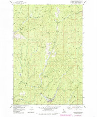
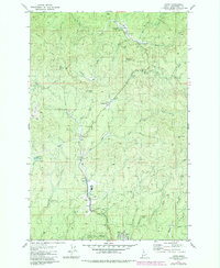
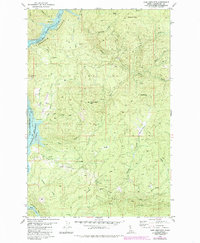
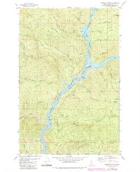
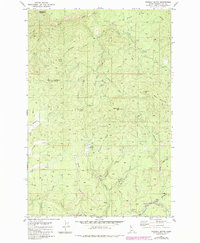
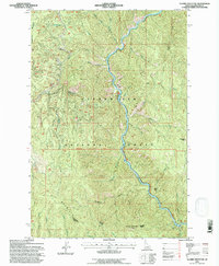
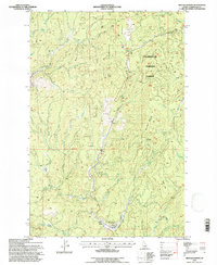
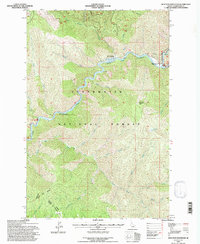
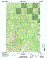
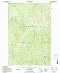
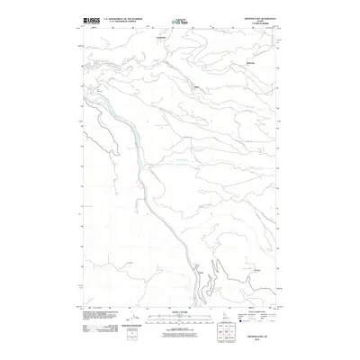
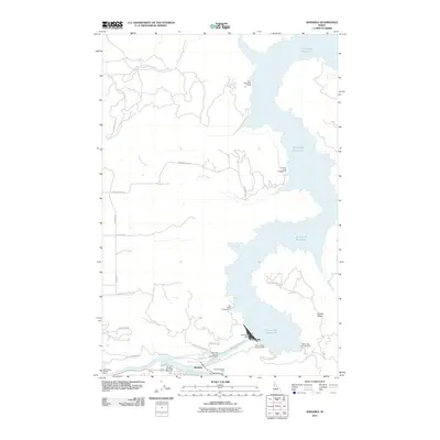
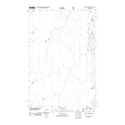
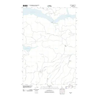
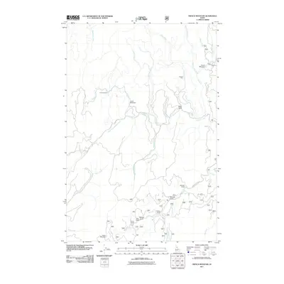
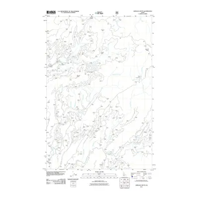
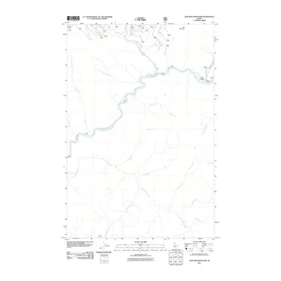
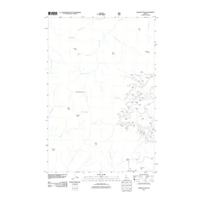
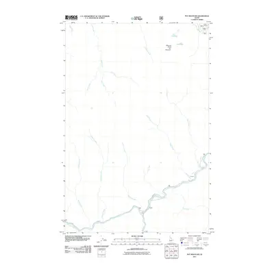
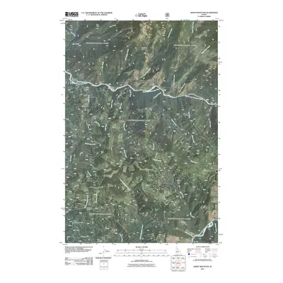
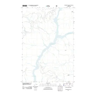
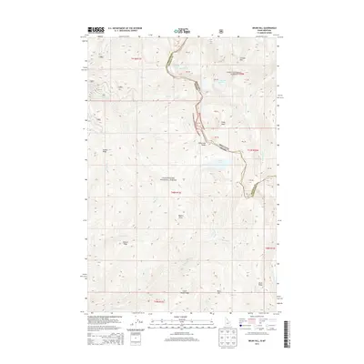
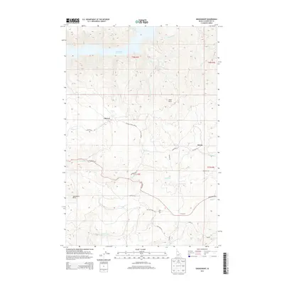
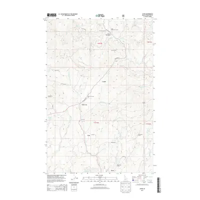
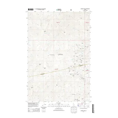
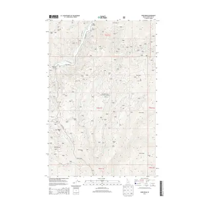
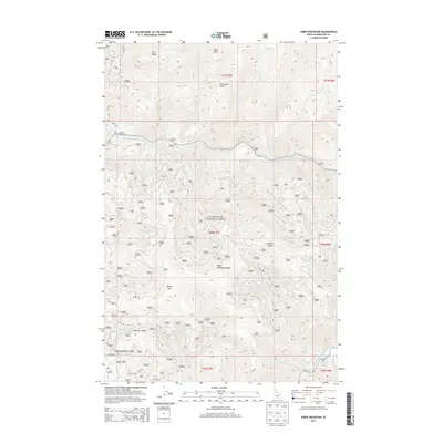
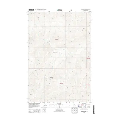
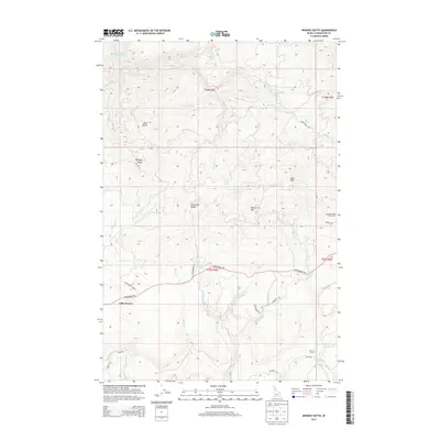
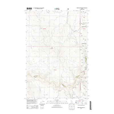
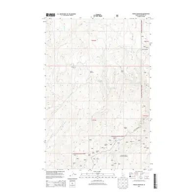
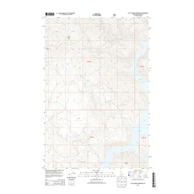
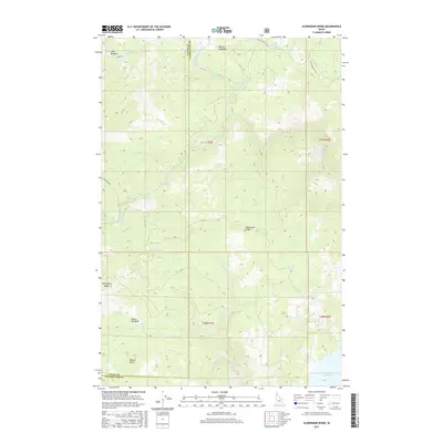
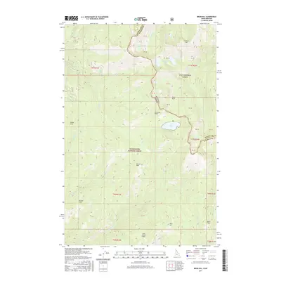
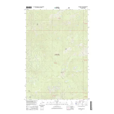
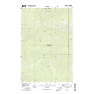
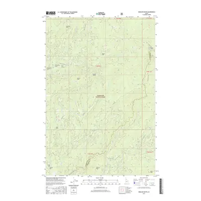
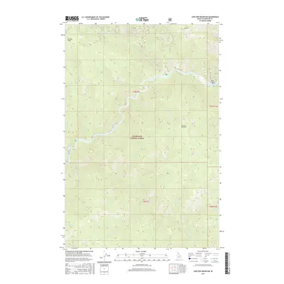
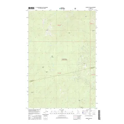
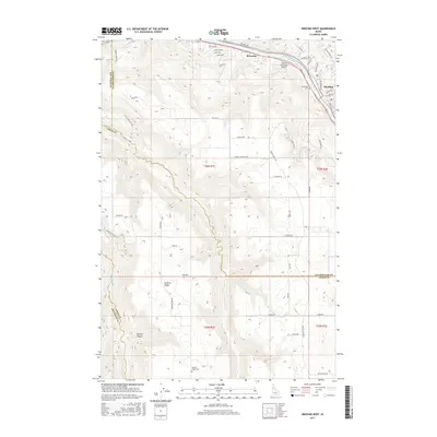
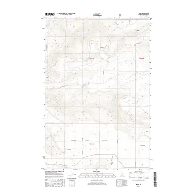
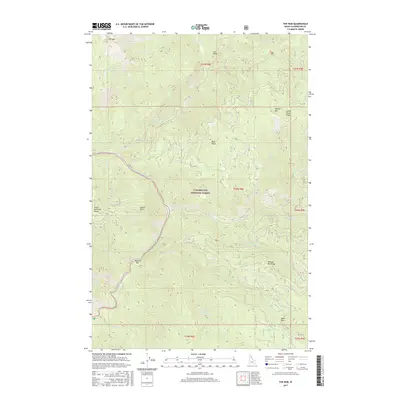
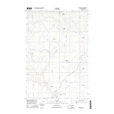
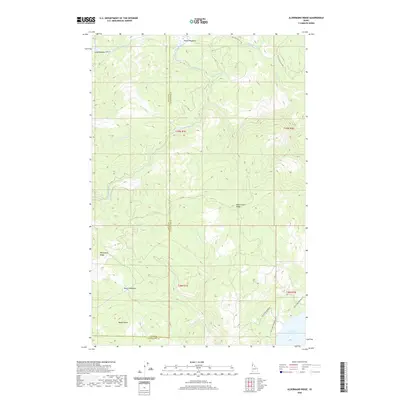
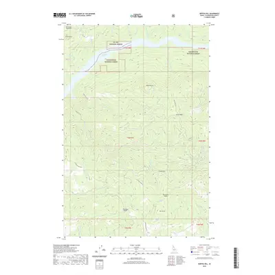
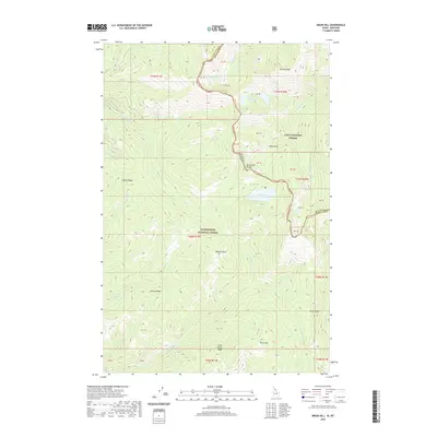
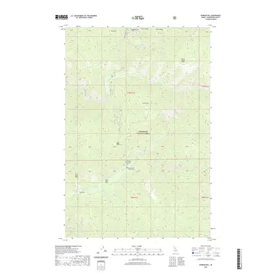
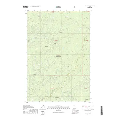
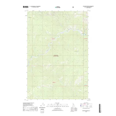
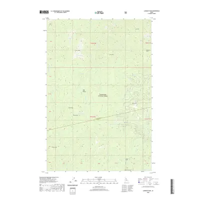
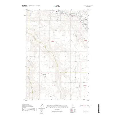
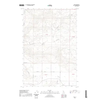
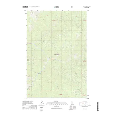
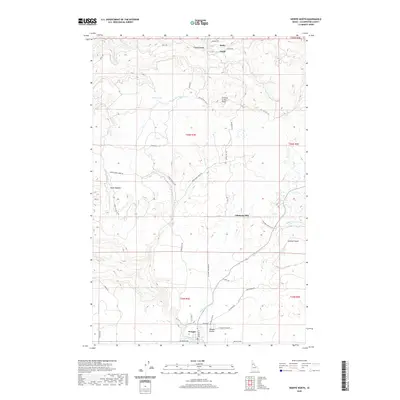
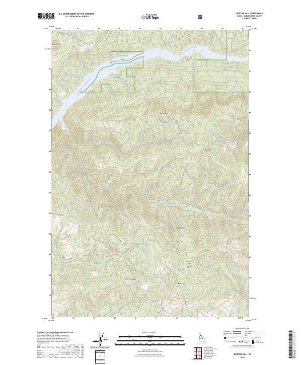
1981 Map of Bertha Hill
USGS Topo · Published 1982About this map
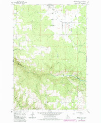
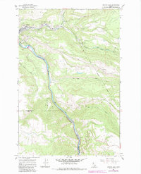
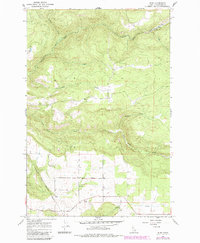
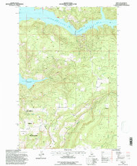
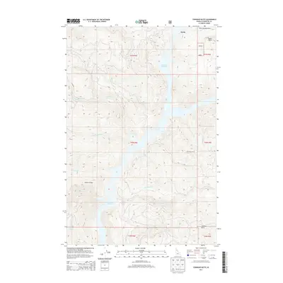
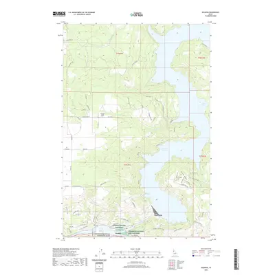
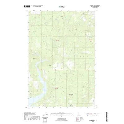
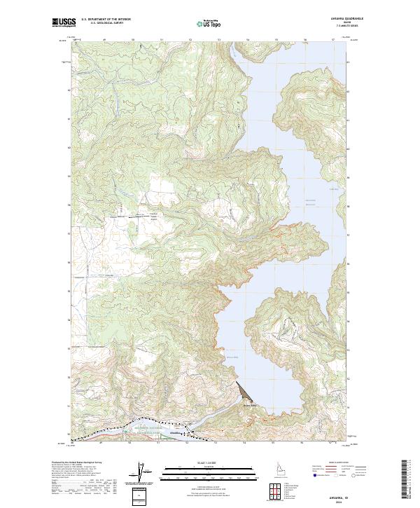
The North Fork Clearwater River Reservoir, also identified as the Dworshak Reservoir, dominates the northern landscape of this Clearwater County region. Reaching a normal pool elevation of 1600 feet, the water fills a network of drainages including Whiskey Creek, Larkins Creek, and Long Bar Creek. This 1981 survey illustrates the interface between the reservoir and the surrounding Clearwater National Forest and St Joe National Forest.
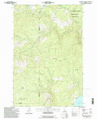
Find a feature on this map
39 named features on this map. Tap any name to fly to it.
Don’t see what you’re looking for? This feature index may not catch every label — zoom into the map to look around manually.
Map Details
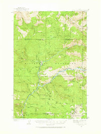
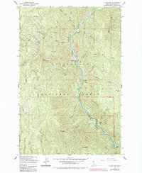
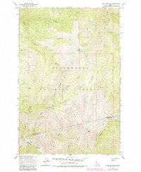
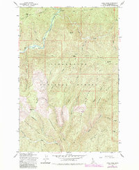
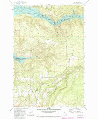
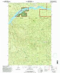
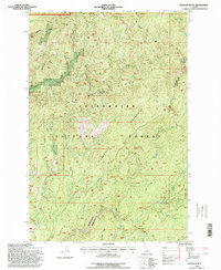
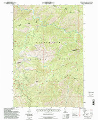
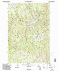
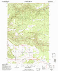
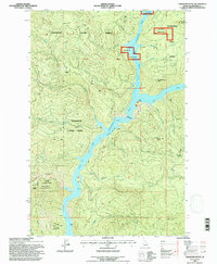
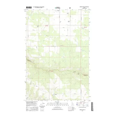
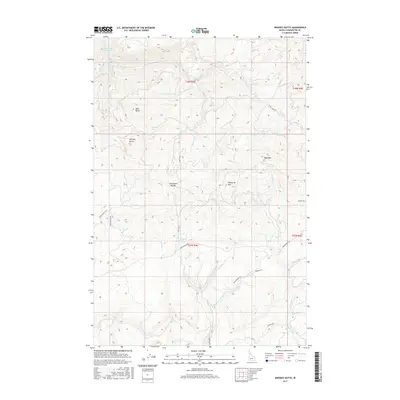
Editions of this 1981 Bertha Hill Map
2 editions found
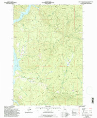
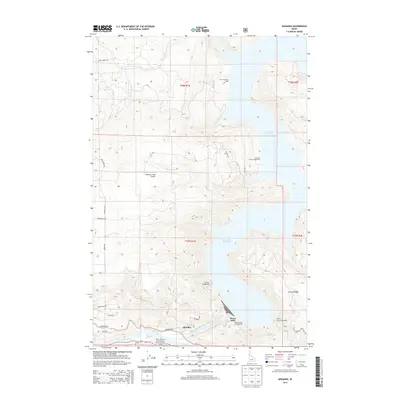
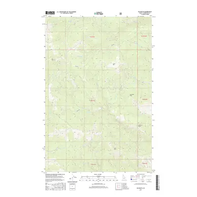
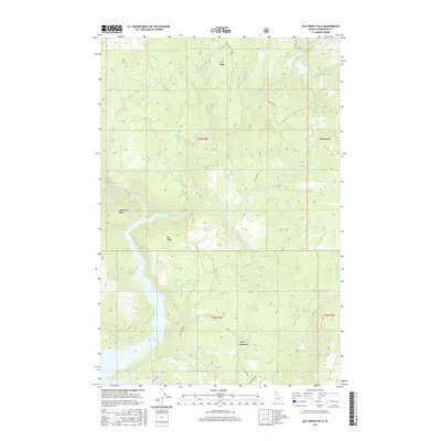
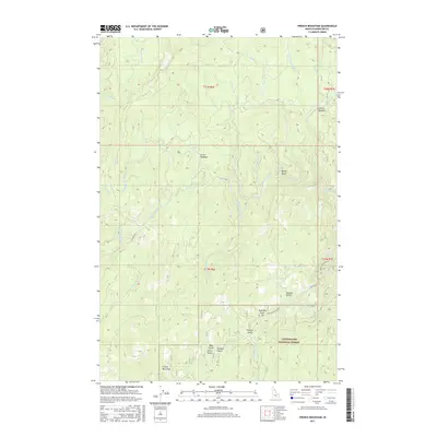
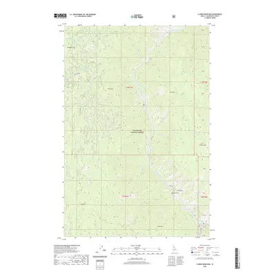
Historical Maps of Clearwater County Through Time
314 maps found

1923 Washington Creek
Clearwater County, ID
1936 Boehls Butte
Clearwater County, ID
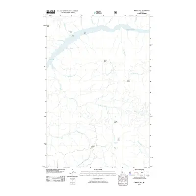
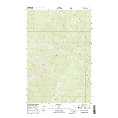
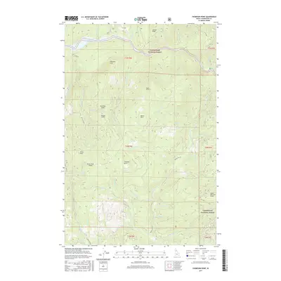
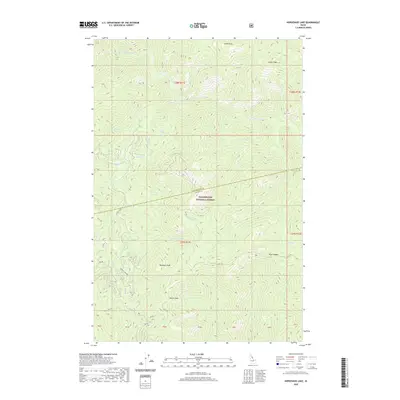
1938 Headquarters
Clearwater County, ID

1943 Boehls Butte
Clearwater County, ID
1944 Headquarters
Clearwater County, ID
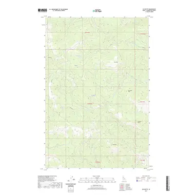
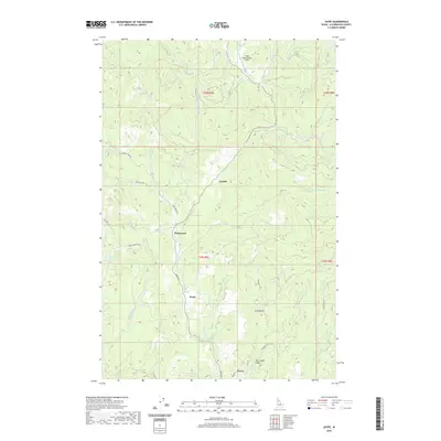
1961 Ahsahka
Clearwater County, ID
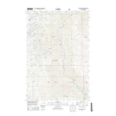
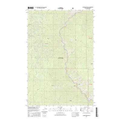
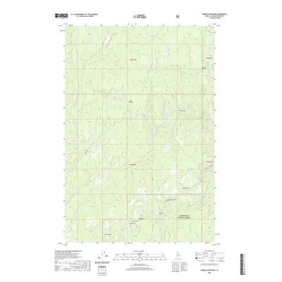
1963 Clarke Mtn
Clearwater County, ID
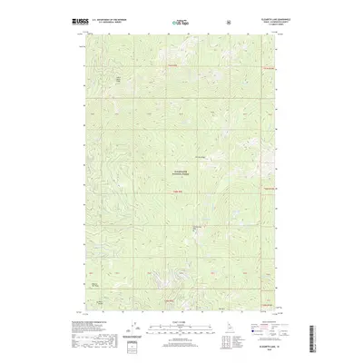
1963 Elizabeth Lake
Clearwater County, ID
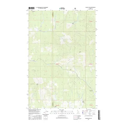
1963 Sheep Mtn
Clearwater County, ID
1963 The Nub
Clearwater County, ID

1964 Granite Pass
Clearwater County, ID
1965 Cook Mountain
Clearwater County, ID
1965 French Mountain
Clearwater County, ID
1965 Gorman Hill
Clearwater County, ID
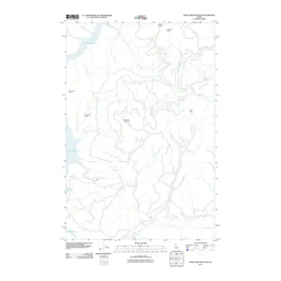
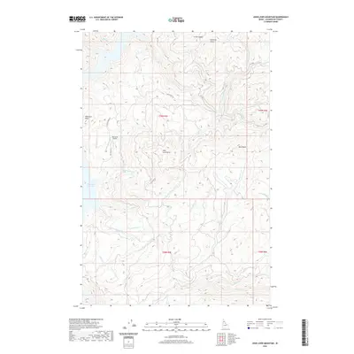
1965 Horseshoe Lake
Clearwater County, ID

1965 Junction Mtn
Clearwater County, ID
1965 Larch Butte
Clearwater County, ID
1965 Lean-to Point
Clearwater County, ID
1965 Lookout Peak
Clearwater County, ID
1965 Moose Mtn
Clearwater County, ID
1965 Osier Ridge
Clearwater County, ID
1965 Pot Mountain
Clearwater County, ID
1965 Scurvy Mtn
Clearwater County, ID
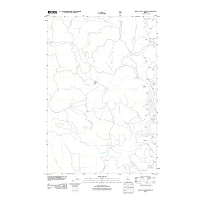
1966 Brown Creek Ridge
Clearwater County, ID
1966 Hemlock Butte
Clearwater County, ID
1966 Rhodes Peak
Clearwater County, ID
1966 Toboggan Ridge
Clearwater County, ID
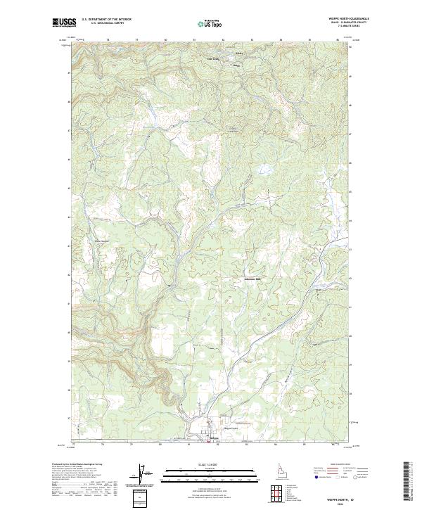
1966 Weippe North
Clearwater County, ID
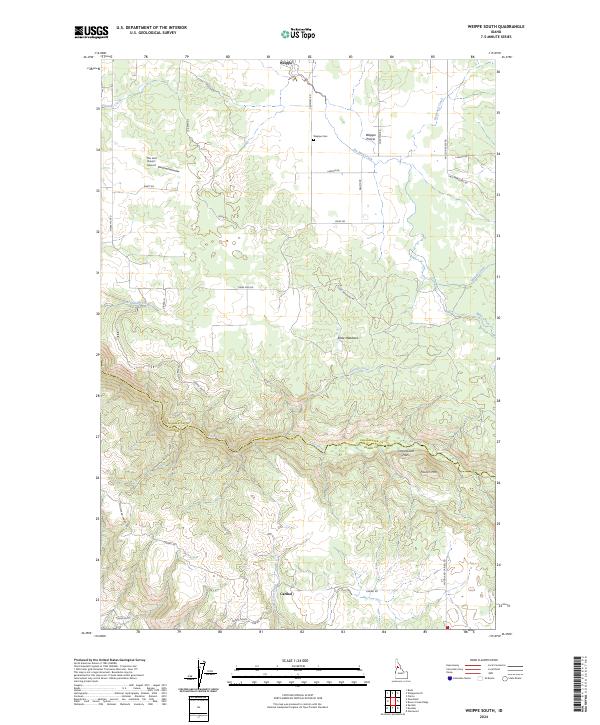
1966 Weippe South
Clearwater County, ID
1967 Orofino East
Clearwater County, ID

1967 Orofino West
Clearwater County, ID
1967 Rudo
Clearwater County, ID
1969 Browns Rock
Clearwater County, ID
1969 Dent
Clearwater County, ID
1969 Elk Butte
Clearwater County, ID
1969 Elk Creek Falls
Clearwater County, ID
1969 Grangemont
Clearwater County, ID
1969 Little Green Mtn.
Clearwater County, ID
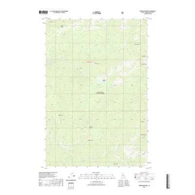
1969 Thompson Point
Clearwater County, ID
1981 Bertha Hill
Clearwater County, ID
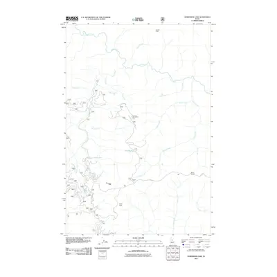
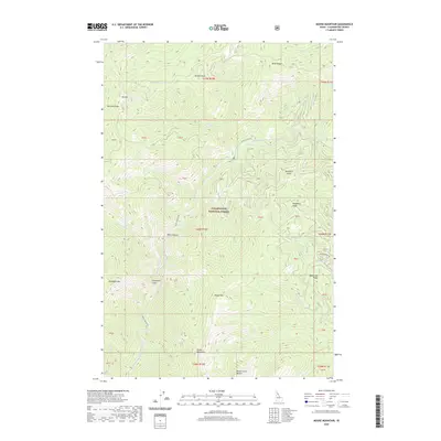
1981 Headquarters
Clearwater County, ID
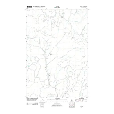
1981 Jaype
Clearwater County, ID
1981 John Lewis Mountain
Clearwater County, ID
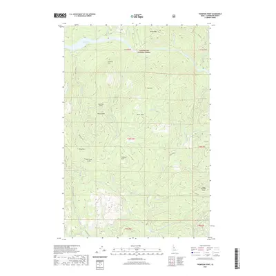
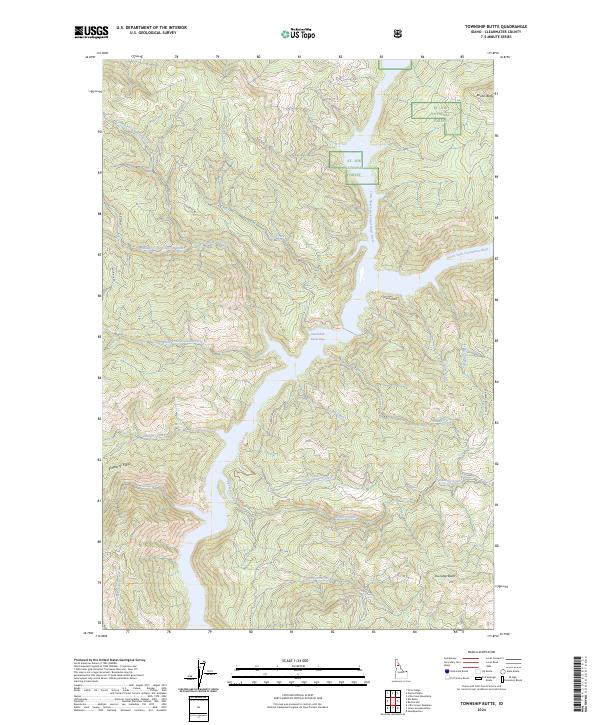
1981 Township Butte
Clearwater County, ID
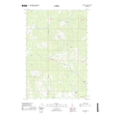
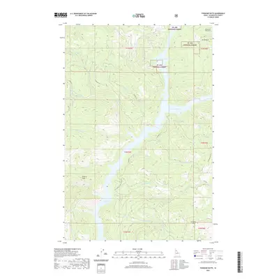
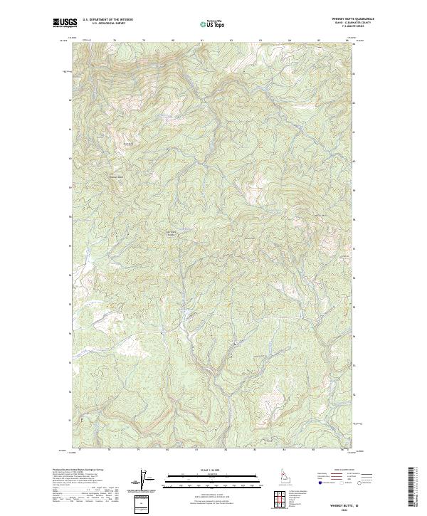
1981 Whiskey Butte
Clearwater County, ID

1982 Headquarters
Clearwater County, ID

1984 Orofino West
Clearwater County, ID

1985 Bruin Hill
Clearwater County, ID

1990 Ahsahka
Clearwater County, ID

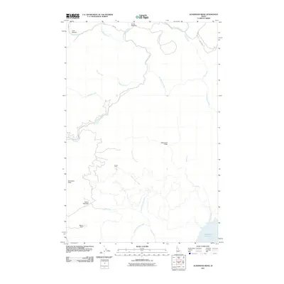
1990 Aldermand Ridge
Clearwater County, ID

1990 Mc Gary Butte
Clearwater County, ID

1990 Southwick
Clearwater County, ID

1994 Ahsahka
Clearwater County, ID
1994 Aldermand Ridge
Clearwater County, ID
1994 Bertha Hill
Clearwater County, ID
1994 Brown Creek Ridge
Clearwater County, ID

1994 Bruin Hill
Clearwater County, ID
1994 Clarke Mountain
Clearwater County, ID

1994 Cook Mountain
Clearwater County, ID
1994 Dent
Clearwater County, ID

1994 Elizabeth Lake
Clearwater County, ID

1994 Elk Butte
Clearwater County, ID

1994 Elk Creek Falls
Clearwater County, ID

1994 French Mountain
Clearwater County, ID
1994 Gorman Hill
Clearwater County, ID
1994 Grangemont
Clearwater County, ID

1994 Granite Pass
Clearwater County, ID
1994 Headquarters
Clearwater County, ID
1994 Hemlock Butte
Clearwater County, ID
1994 Horseshoe Lake
Clearwater County, ID

1994 Jaype
Clearwater County, ID
1994 John Lewis Mountain
Clearwater County, ID
1994 Junction Mountain
Clearwater County, ID
1994 Larch Butte
Clearwater County, ID
1994 Lean-to Point
Clearwater County, ID

1994 Little Green Mountain
Clearwater County, ID
1994 Lookout Peak
Clearwater County, ID

1994 Mc Gary Butte
Clearwater County, ID
1994 Moose Mountain
Clearwater County, ID

1994 Orofino East
Clearwater County, ID

1994 Orofino West
Clearwater County, ID

1994 Osier Ridge
Clearwater County, ID

1994 Pot Mountain
Clearwater County, ID

1994 Rhodes Peak
Clearwater County, ID
1994 Rudo
Clearwater County, ID

1994 Scurvy Mountain
Clearwater County, ID
1994 Sheep Mountain
Clearwater County, ID
1994 The Nub
Clearwater County, ID

1994 Thompson Point
Clearwater County, ID
1994 Toboggan Ridge
Clearwater County, ID
1994 Township Butte
Clearwater County, ID

1994 Weippe North
Clearwater County, ID

1994 Weippe South
Clearwater County, ID
1994 Whiskey Butte
Clearwater County, ID
2010 Grangemont
Clearwater County, ID
2010 Orofino East
Clearwater County, ID
2010 Orofino West
Clearwater County, ID
2010 Southwick
Clearwater County, ID
2010 Weippe North
Clearwater County, ID
2011 Ahsahka
Clearwater County, ID
2011 Aldermand Ridge
Clearwater County, ID
2011 Bertha Hill
Clearwater County, ID
2011 Brown Creek Ridge
Clearwater County, ID
2011 Browns Rock
Clearwater County, ID
2011 Bruin Hill
Clearwater County, ID
2011 Clarke Mountain
Clearwater County, ID
2011 Cook Mountain
Clearwater County, ID
2011 Dent
Clearwater County, ID
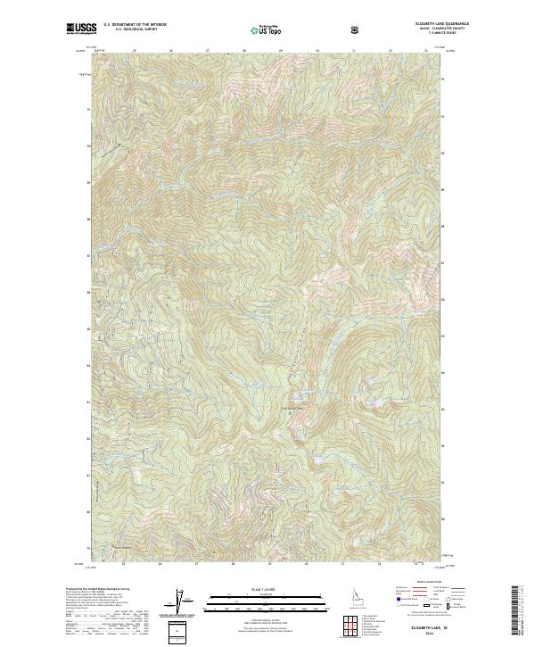
2011 Elizabeth Lake
Clearwater County, ID
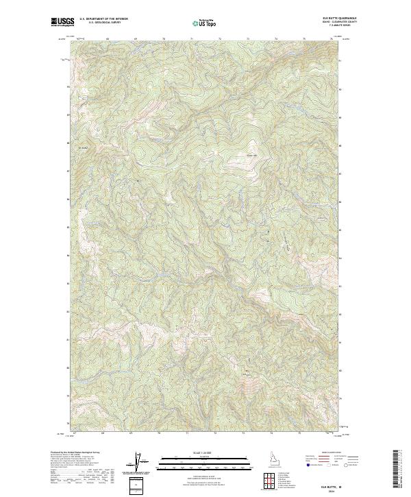
2011 Elk Butte
Clearwater County, ID
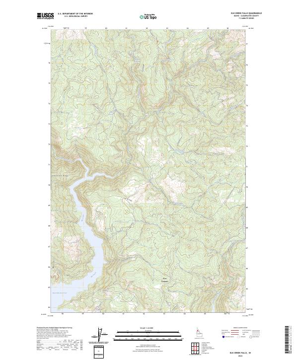
2011 Elk Creek Falls
Clearwater County, ID
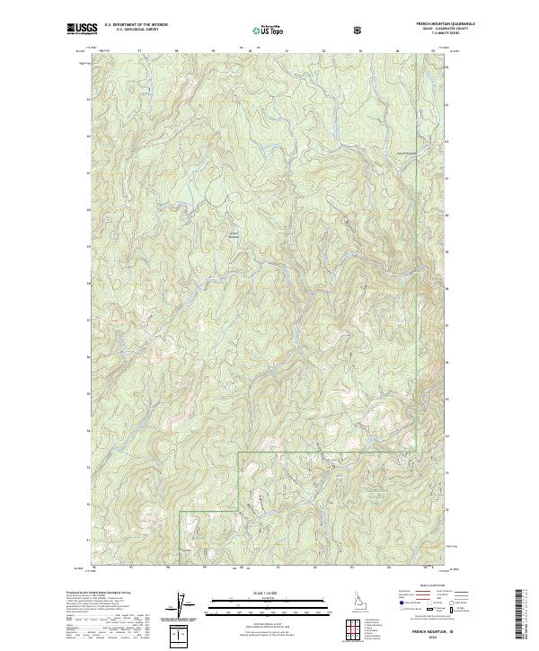
2011 French Mountain
Clearwater County, ID
2011 Gorman Hill
Clearwater County, ID
2011 Granite Pass
Clearwater County, ID
2011 Headquarters
Clearwater County, ID
2011 Hemlock Butte
Clearwater County, ID
2011 Horseshoe Lake
Clearwater County, ID
2011 Jaype
Clearwater County, ID
2011 John Lewis Mountain
Clearwater County, ID
2011 Junction Mountain
Clearwater County, ID
2011 Larch Butte
Clearwater County, ID
2011 Lean-to Point
Clearwater County, ID
2011 Little Green Mountain
Clearwater County, ID
2011 Lookout Peak
Clearwater County, ID
2011 McGary Butte
Clearwater County, ID
2011 Moose Mountain
Clearwater County, ID
2011 Osier Ridge
Clearwater County, ID
2011 Pot Mountain
Clearwater County, ID
2011 Rhodes Peak
Clearwater County, ID
2011 Rudo
Clearwater County, ID
2011 Scurvy Mountain
Clearwater County, ID
2011 Sheep Mountain
Clearwater County, ID
2011 The Nub
Clearwater County, ID
2011 Thompson Point
Clearwater County, ID
2011 Toboggan Ridge
Clearwater County, ID
2011 Township Butte
Clearwater County, ID
2011 Weippe South
Clearwater County, ID
2011 Whiskey Butte
Clearwater County, ID
2013 Browns Rock
Clearwater County, ID
2013 Bruin Hill
Clearwater County, ID
2013 Clarke Mountain
Clearwater County, ID
2013 Dent
Clearwater County, ID
2013 Elizabeth Lake
Clearwater County, ID
2013 Grangemont
Clearwater County, ID
2013 Granite Pass
Clearwater County, ID
2013 Headquarters
Clearwater County, ID
2013 Horseshoe Lake
Clearwater County, ID
2013 Jaype
Clearwater County, ID
2013 John Lewis Mountain
Clearwater County, ID
2013 Larch Butte
Clearwater County, ID
2013 Lean-to Point
Clearwater County, ID
2013 Lookout Peak
Clearwater County, ID
2013 Moose Mountain
Clearwater County, ID
2013 Orofino East
Clearwater County, ID
2013 Orofino West
Clearwater County, ID
2013 Osier Ridge
Clearwater County, ID
2013 Pot Mountain
Clearwater County, ID
2013 Rhodes Peak
Clearwater County, ID
2013 Scurvy Mountain
Clearwater County, ID
2013 Sheep Mountain
Clearwater County, ID
2013 Southwick
Clearwater County, ID
2013 The Nub
Clearwater County, ID
2013 Thompson Point
Clearwater County, ID
2013 Toboggan Ridge
Clearwater County, ID
2013 Township Butte
Clearwater County, ID
2013 Weippe North
Clearwater County, ID
2013 Weippe South
Clearwater County, ID
2013 Whiskey Butte
Clearwater County, ID
2014 Ahsahka
Clearwater County, ID
2014 Aldermand Ridge
Clearwater County, ID
2014 Bertha Hill
Clearwater County, ID
2014 Brown Creek Ridge
Clearwater County, ID
2014 Cook Mountain
Clearwater County, ID
2014 Elk Butte
Clearwater County, ID
2014 Elk Creek Falls
Clearwater County, ID
2014 French Mountain
Clearwater County, ID
2014 Gorman Hill
Clearwater County, ID
2014 Hemlock Butte
Clearwater County, ID
2014 Junction Mountain
Clearwater County, ID
2014 Little Green Mountain
Clearwater County, ID
2014 McGary Butte
Clearwater County, ID
2014 Rudo
Clearwater County, ID
2017 Ahsahka
Clearwater County, ID
2017 Aldermand Ridge
Clearwater County, ID
2017 Bertha Hill
Clearwater County, ID
2017 Brown Creek Ridge
Clearwater County, ID
2017 Browns Rock
Clearwater County, ID
2017 Bruin Hill
Clearwater County, ID
2017 Clarke Mountain
Clearwater County, ID
2017 Cook Mountain
Clearwater County, ID
2017 Dent
Clearwater County, ID
2017 Elizabeth Lake
Clearwater County, ID
2017 Elk Butte
Clearwater County, ID
2017 Elk Creek Falls
Clearwater County, ID
2017 French Mountain
Clearwater County, ID
2017 Gorman Hill
Clearwater County, ID
2017 Grangemont
Clearwater County, ID
2017 Granite Pass
Clearwater County, ID
2017 Headquarters
Clearwater County, ID
2017 Hemlock Butte
Clearwater County, ID
2017 Horseshoe Lake
Clearwater County, ID
2017 Jaype
Clearwater County, ID
2017 John Lewis Mountain
Clearwater County, ID
2017 Junction Mountain
Clearwater County, ID
2017 Larch Butte
Clearwater County, ID
2017 Lean-to Point
Clearwater County, ID
2017 Little Green Mountain
Clearwater County, ID
2017 Lookout Peak
Clearwater County, ID
2017 McGary Butte
Clearwater County, ID
2017 Moose Mountain
Clearwater County, ID
2017 Orofino East
Clearwater County, ID
2017 Orofino West
Clearwater County, ID
2017 Osier Ridge
Clearwater County, ID
2017 Pot Mountain
Clearwater County, ID
2017 Rhodes Peak
Clearwater County, ID
2017 Rudo
Clearwater County, ID
2017 Scurvy Mountain
Clearwater County, ID
2017 Sheep Mountain
Clearwater County, ID
2017 Southwick
Clearwater County, ID
2017 The Nub
Clearwater County, ID
2017 Thompson Point
Clearwater County, ID
2017 Toboggan Ridge
Clearwater County, ID
2017 Township Butte
Clearwater County, ID
2017 Weippe North
Clearwater County, ID
2017 Weippe South
Clearwater County, ID
2017 Whiskey Butte
Clearwater County, ID
2020 Ahsahka
Clearwater County, ID
2020 Aldermand Ridge
Clearwater County, ID
2020 Bertha Hill
Clearwater County, ID
2020 Brown Creek Ridge
Clearwater County, ID
2020 Browns Rock
Clearwater County, ID
2020 Bruin Hill
Clearwater County, ID
2020 Clarke Mountain
Clearwater County, ID
2020 Cook Mountain
Clearwater County, ID
2020 Dent
Clearwater County, ID
2020 Elizabeth Lake
Clearwater County, ID
2020 Elk Butte
Clearwater County, ID
2020 Elk Creek Falls
Clearwater County, ID
2020 French Mountain
Clearwater County, ID
2020 Gorman Hill
Clearwater County, ID
2020 Grangemont
Clearwater County, ID
2020 Granite Pass
Clearwater County, ID
2020 Headquarters
Clearwater County, ID
2020 Hemlock Butte
Clearwater County, ID
2020 Horseshoe Lake
Clearwater County, ID
2020 Jaype
Clearwater County, ID
2020 John Lewis Mountain
Clearwater County, ID
2020 Junction Mountain
Clearwater County, ID
2020 Larch Butte
Clearwater County, ID
2020 Lean-to Point
Clearwater County, ID
2020 Little Green Mountain
Clearwater County, ID
2020 Lookout Peak
Clearwater County, ID
2020 McGary Butte
Clearwater County, ID
2020 Moose Mountain
Clearwater County, ID
2020 Orofino East
Clearwater County, ID
2020 Orofino West
Clearwater County, ID
2020 Osier Ridge
Clearwater County, ID
2020 Pot Mountain
Clearwater County, ID
2020 Rhodes Peak
Clearwater County, ID
2020 Rudo
Clearwater County, ID
2020 Scurvy Mountain
Clearwater County, ID
2020 Sheep Mountain
Clearwater County, ID
2020 Southwick
Clearwater County, ID
2020 The Nub
Clearwater County, ID
2020 Thompson Point
Clearwater County, ID
2020 Toboggan Ridge
Clearwater County, ID
2020 Township Butte
Clearwater County, ID
2020 Weippe North
Clearwater County, ID
2020 Weippe South
Clearwater County, ID
2020 Whiskey Butte
Clearwater County, ID
2024 Ahsahka
Clearwater County, ID
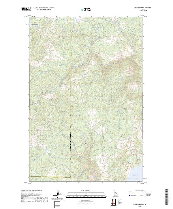
2024 Aldermand Ridge
Clearwater County, ID
2024 Bertha Hill
Clearwater County, ID
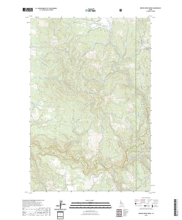
2024 Brown Creek Ridge
Clearwater County, ID
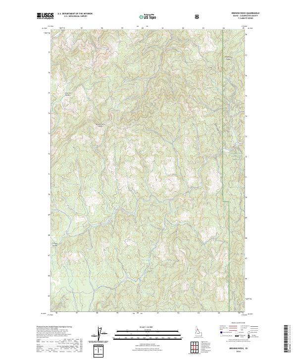
2024 Browns Rock
Clearwater County, ID
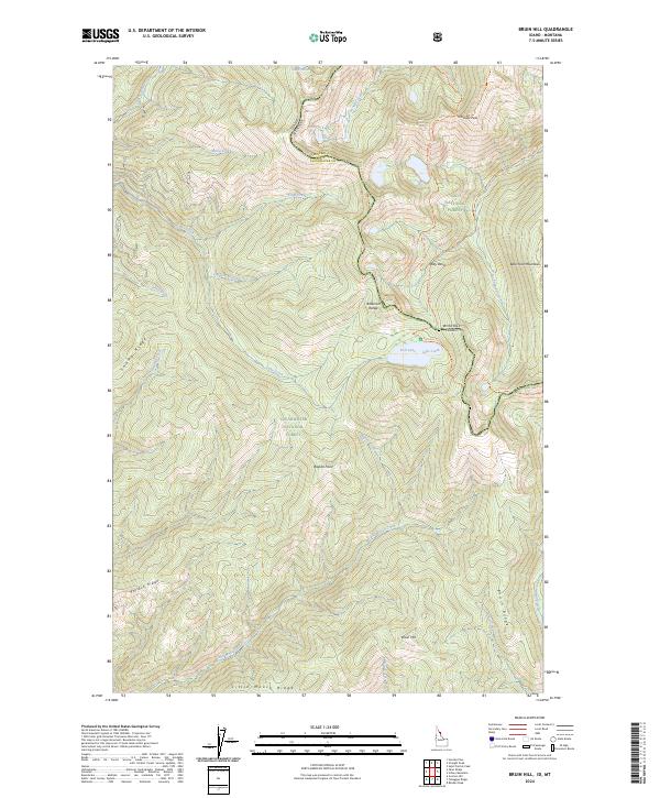
2024 Bruin Hill
Clearwater County, ID
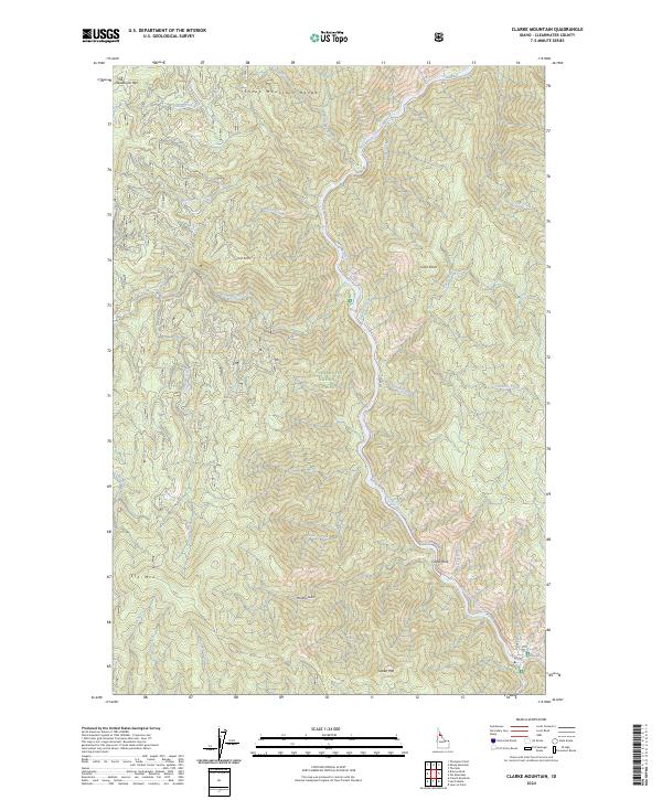
2024 Clarke Mountain
Clearwater County, ID
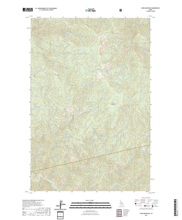
2024 Cook Mountain
Clearwater County, ID
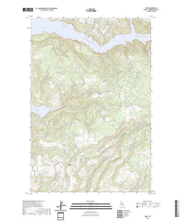
2024 Dent
Clearwater County, ID
2024 Elizabeth Lake
Clearwater County, ID
2024 Elk Butte
Clearwater County, ID
2024 Elk Creek Falls
Clearwater County, ID
2024 French Mountain
Clearwater County, ID
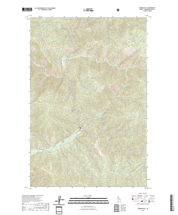
2024 Gorman Hill
Clearwater County, ID

2024 Grangemont
Clearwater County, ID
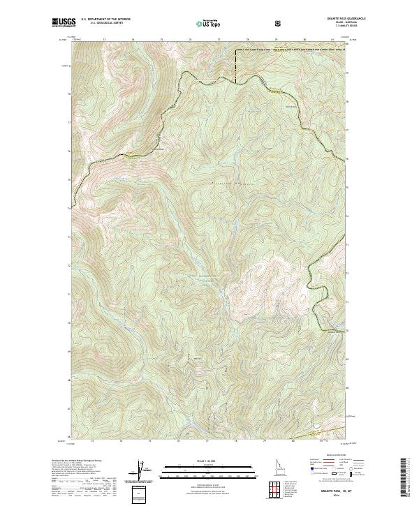
2024 Granite Pass
Clearwater County, ID
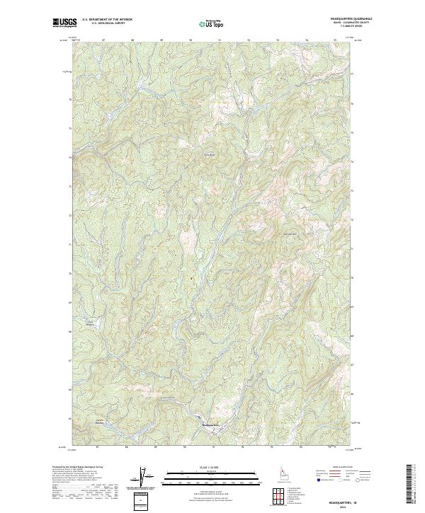
2024 Headquarters
Clearwater County, ID
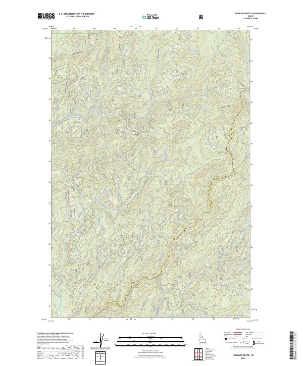
2024 Hemlock Butte
Clearwater County, ID
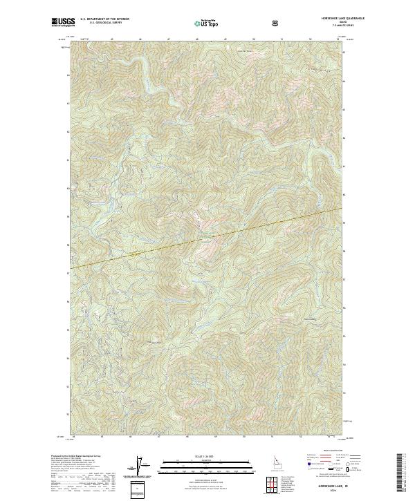
2024 Horseshoe Lake
Clearwater County, ID
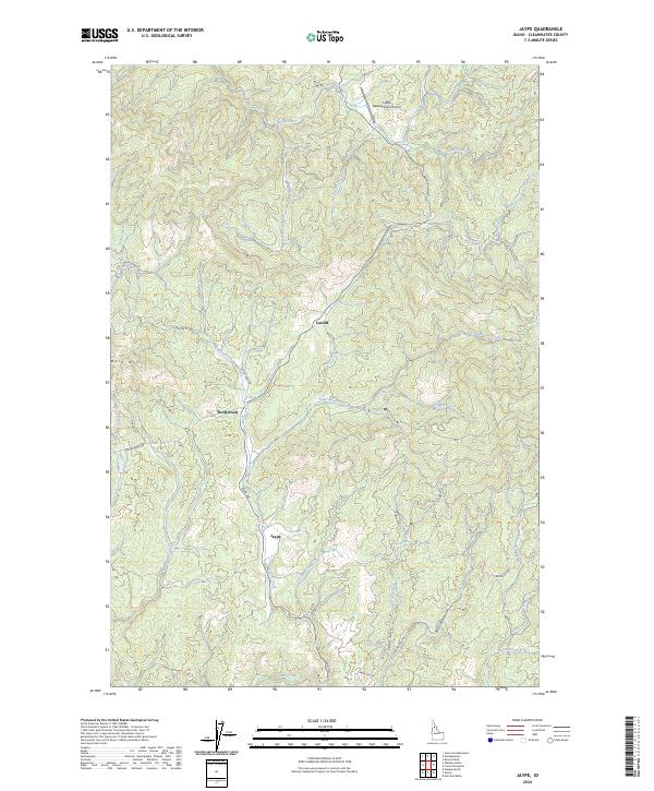
2024 Jaype
Clearwater County, ID
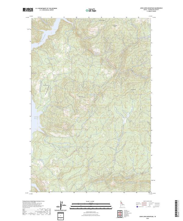
2024 John Lewis Mountain
Clearwater County, ID
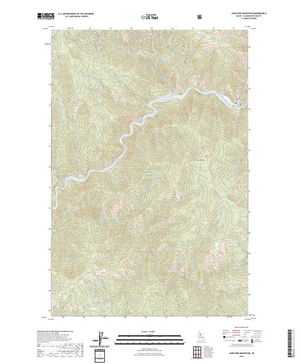
2024 Junction Mountain
Clearwater County, ID
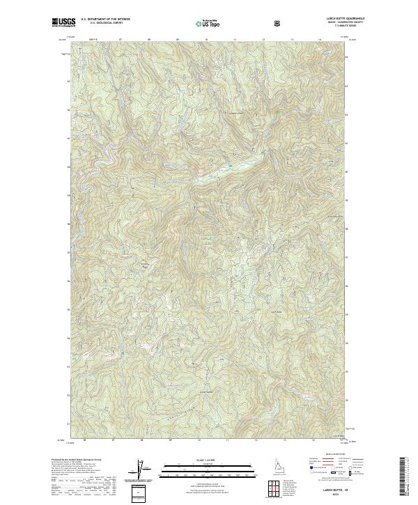
2024 Larch Butte
Clearwater County, ID
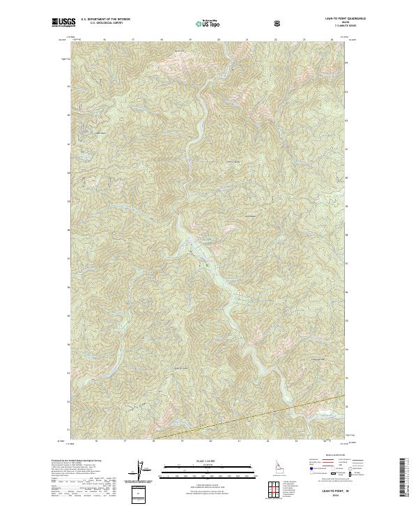
2024 Lean-to Point
Clearwater County, ID
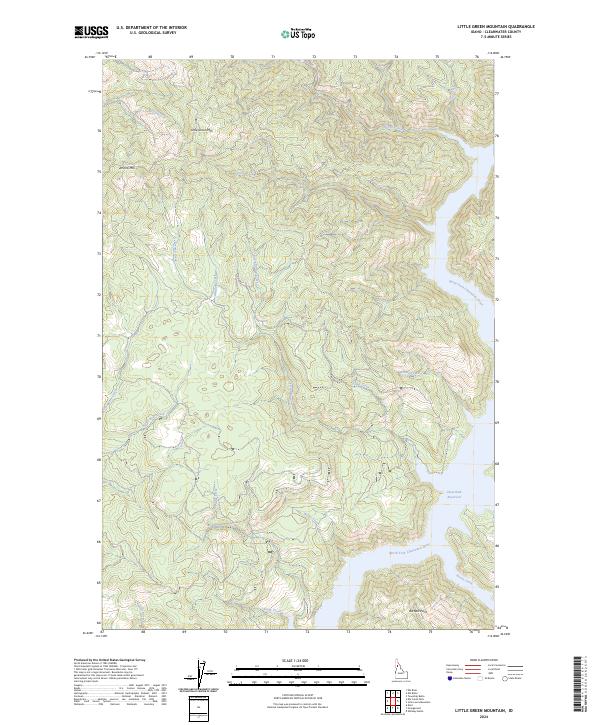
2024 Little Green Mountain
Clearwater County, ID
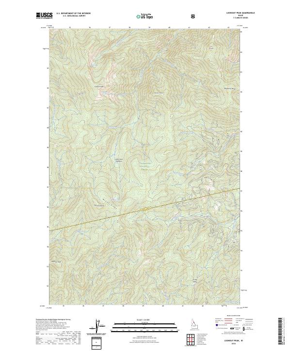
2024 Lookout Peak
Clearwater County, ID
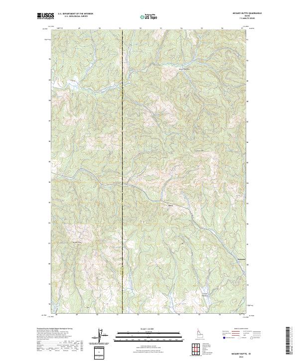
2024 McGary Butte
Clearwater County, ID
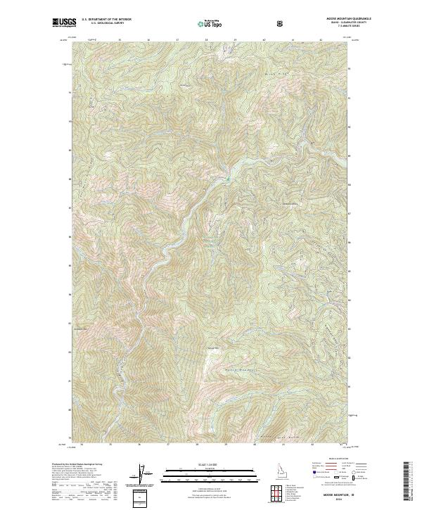
2024 Moose Mountain
Clearwater County, ID

2024 Orofino East
Clearwater County, ID
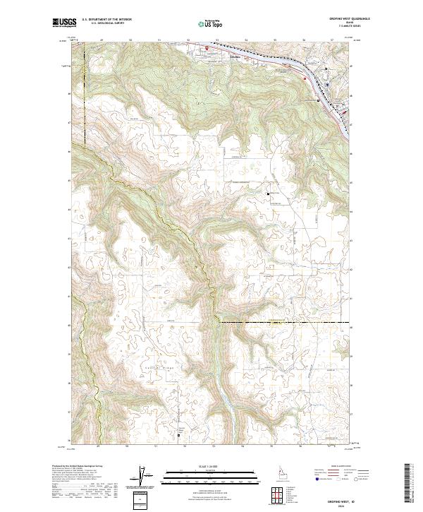
2024 Orofino West
Clearwater County, ID
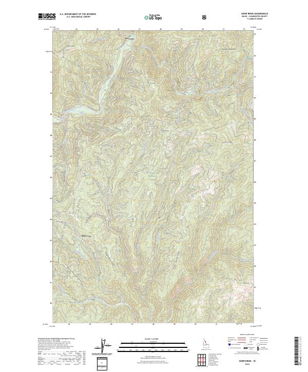
2024 Osier Ridge
Clearwater County, ID
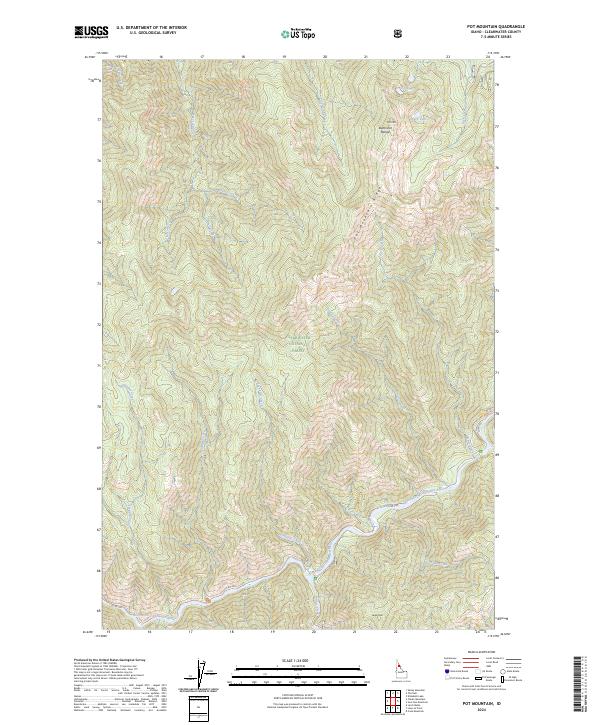
2024 Pot Mountain
Clearwater County, ID
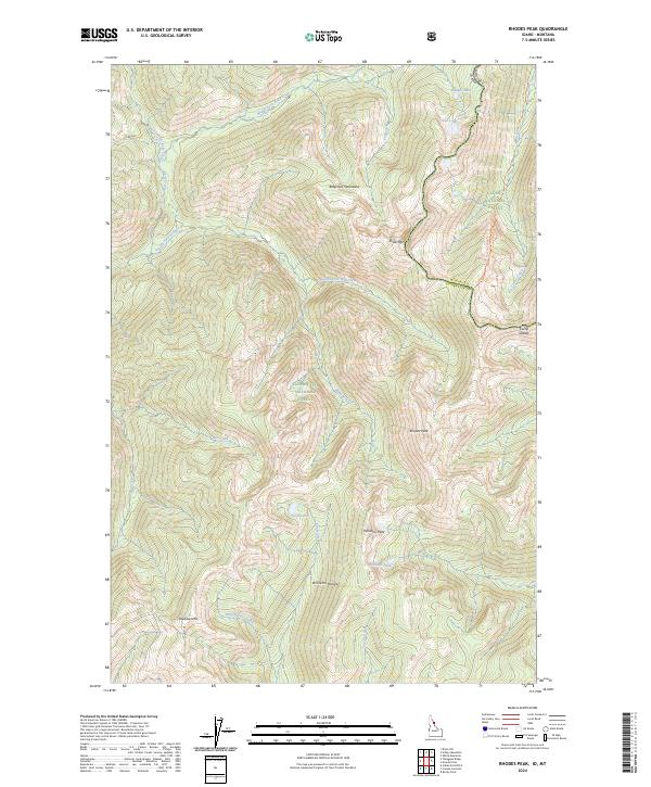
2024 Rhodes Peak
Clearwater County, ID
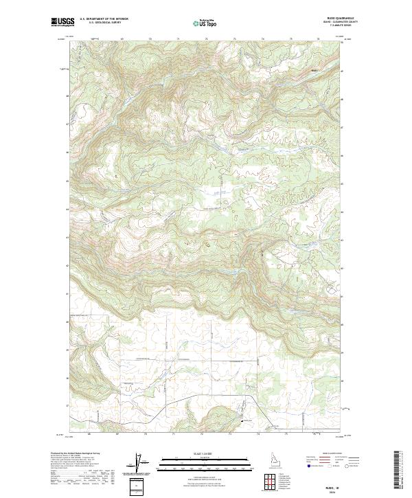
2024 Rudo
Clearwater County, ID
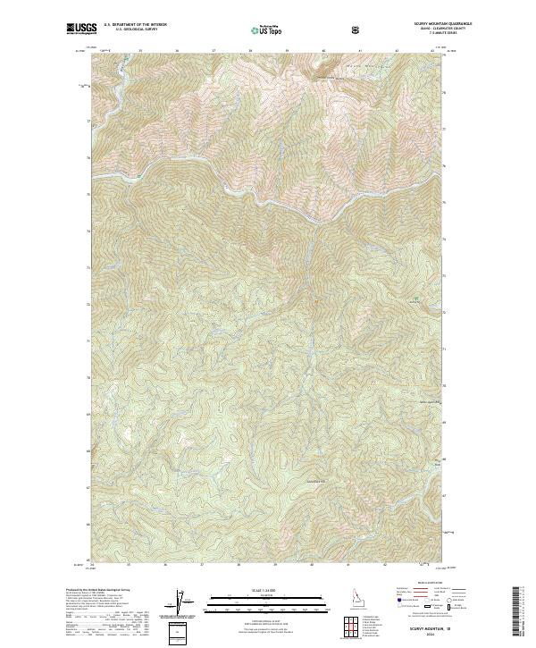
2024 Scurvy Mountain
Clearwater County, ID
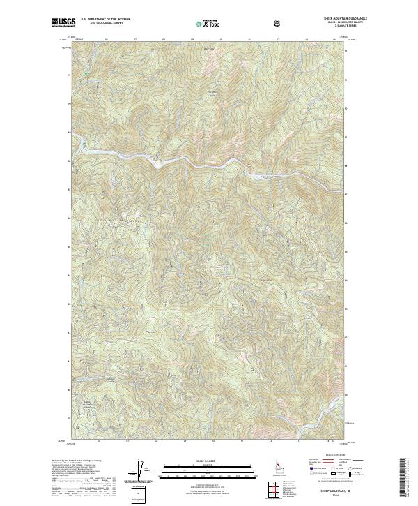
2024 Sheep Mountain
Clearwater County, ID
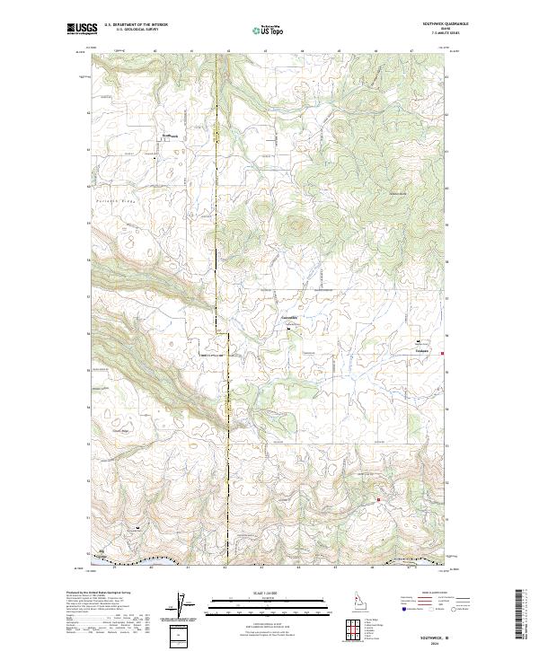
2024 Southwick
Clearwater County, ID
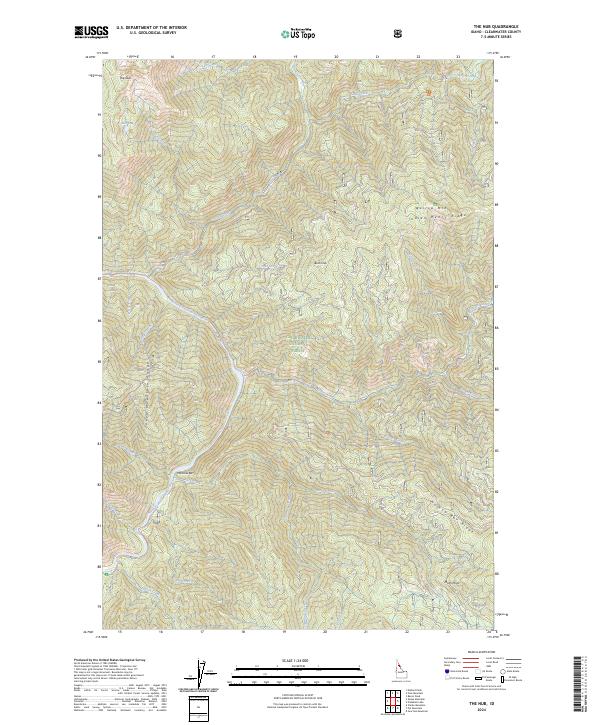
2024 The Nub
Clearwater County, ID

2024 Thompson Point
Clearwater County, ID
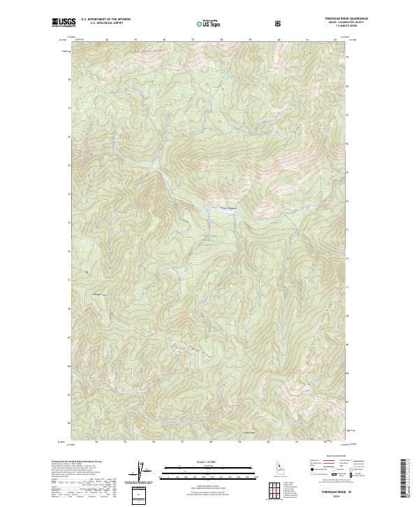
2024 Toboggan Ridge
Clearwater County, ID
2024 Township Butte
Clearwater County, ID
2024 Weippe North
Clearwater County, ID
2024 Weippe South
Clearwater County, ID
2024 Whiskey Butte
Clearwater County, ID