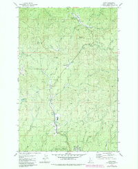
1981 Map of Jaype
USGS Topo · Published 1984About this map
Jaype and the surrounding Clearwater timberlands of the early 1980s are defined by a complex intersection of industry and recreation. The landscape is marked by the presence of the Cardiff Spur railroad and industrial infrastructure like a large Substation and several Gravel Pit sites, supporting the logging operations of the Idaho interior. Small settlements and named locales such as Townsite Four, Hollywood, Revling, and Nelson are scattered along the drainages of Reeds Creek and Camas Prairie Creek. The high ground is monitored by the Shanghai Lookout Tower, overlooking a terrain carved by Little Trapper Creek and Snake Creek. For those exploring the backcountry, developed sites like the EC Rettig Campground Picnic Area and Deer Creek Campground near a remote Landing Strip indicate the dual-use nature of this forest at the time, where industrial rail lines and forestry trails met public campgrounds and family picnic spots.
Find a feature on this map
45 named features on this map. Tap any name to fly to it.
Don’t see what you’re looking for? This feature index may not catch every label — zoom into the map to look around manually.
Map Details
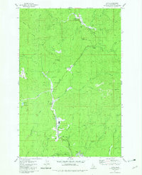
Editions of this 1981 Jaype Map
2 editions found
Other maps of this area

1923 · Washington Creek
USGS Topo · 1:125,000

1924 · Weippe
USGS Topo · 1:125,000

1938 · Headquarters
USGS Topo · 1:48,000

1944 · Headquarters
USGS Topo · 1:62,500

1956 · Hamilton
USGS Topo · 1:250,000

1959 · Hamilton
USGS Topo · 1:250,000

1960 · Hamilton
USGS Topo · 1:250,000

1964 · Hamilton
USGS Topo · 1:250,000

1965 · French Mountain
USGS Topo · 1:24,000

1966 · Pierce
USGS Topo · 1:24,000