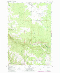
1966 Map of Weippe South
USGS Topo · Published 1985About this map
Weippe Prairie dominates the northern landscape of this survey, where the town of Weippe sits at the edge of fertile agricultural flats and timbered slopes. The map traces the rugged divide between Clearwater and Idaho counties, following the descent into the steep canyon of Lolo Creek. Within the Nez Perce Indian Reservation, the terrain transitions from the open meadows near Larson to the prominent heights of Paunch Mtn. A network of logging access routes like Adams Grade and numerous jeep trails suggests the region's reliance on forestry. Genealogists will find the Weippe Cemetery and family-named landmarks such as Tom Taha Creek and Jim Ford Creek particularly useful for locating mid-century homesteads. The southern portion of the sheet reveals the sharp vertical relief of the Clearwater Mountains, punctuated by landmarks like Caribel and the secluded Cottonwood Flats Creek.
Find a feature on this map
24 named features on this map. Tap any name to fly to it.
Don’t see what you’re looking for? This feature index may not catch every label — zoom into the map to look around manually.
Map Details
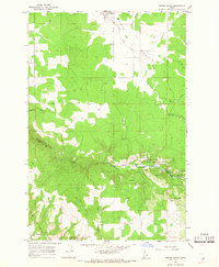
Editions of this 1966 Weippe South Map
2 editions found
Other maps of this area

1924 · Kamiah
USGS Topo · 1:125,000

1924 · Weippe
USGS Topo · 1:125,000

1955 · Pullman
USGS Topo · 1:250,000

1956 · Hamilton
USGS Topo · 1:250,000

1958 · Pullman
USGS Topo · 1:250,000

1959 · Hamilton
USGS Topo · 1:250,000

1960 · Hamilton
USGS Topo · 1:250,000

1964 · Hamilton
USGS Topo · 1:250,000

1966 · Kooskia
USGS Topo · 1:24,000

1966 · Pierce
USGS Topo · 1:24,000