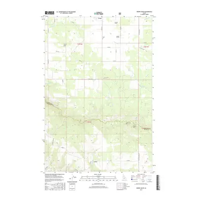
2017 Map of Weippe South
USGS Topo · Published 2017About this map
Weippe Prairie dominates the northern landscape of this Clearwater County quadrangle, where the settlement of Weippe sits at the edge of the plateau. The terrain transitions sharply to the south as the land drops toward the canyon of Lolo Creek, which serves as a natural boundary between Clearwater and Idaho counties. This topographic record documents a rural Idaho landscape defined by its timber and ranching access, featuring an extensive network of backroads such as Three Mile Rd and Woodland-Caribel Rd. Significant local landmarks include the Weippe Cem, Paunch Mtn, and the high mountain meadows of Cottonwood Flats. Remote outposts like Caribel and The Last Resort Airport highlight the region's isolated character and reliance on specialized transportation routes like the steep Adams Grade.
Find a feature on this map
39 named features on this map. Tap any name to fly to it.
Don’t see what you’re looking for? This feature index may not catch every label — zoom into the map to look around manually.
Map Details
Editions of this 2017 Weippe South Map
This is the sole edition of this map. No revisions or reprints were ever made.
Other maps of this area

1924 · Kamiah
USGS Topo · 1:125,000

1924 · Weippe
USGS Topo · 1:125,000

1955 · Pullman
USGS Topo · 1:250,000

1956 · Hamilton
USGS Topo · 1:250,000

1958 · Pullman
USGS Topo · 1:250,000

1959 · Hamilton
USGS Topo · 1:250,000

1960 · Hamilton
USGS Topo · 1:250,000

1964 · Hamilton
USGS Topo · 1:250,000

1966 · Kooskia
USGS Topo · 1:24,000

1966 · Pierce
USGS Topo · 1:24,000