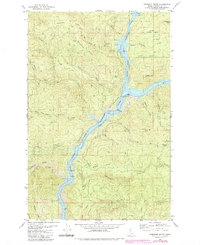
1981 Map of Township Butte
USGS Topo · Published 1984About this map
Dworshak Reservoir dominates the drainage patterns of this region, where the Little North Fork Clearwater River winds through the steep topography of the St Joe National Forest. The map documents a landscape defined by industrial and forest management access, featuring the Burma Road and the Grandad Br crossing. Settlement is sparse, represented by historical locations such as the Camp X (Site) and the namesake Township Butte and Boehls Butte.
Find a feature on this map
36 named features on this map. Tap any name to fly to it.
Don’t see what you’re looking for? This feature index may not catch every label — zoom into the map to look around manually.
Map Details
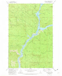
Editions of this 1981 Township Butte Map
2 editions found
Other maps of this area

1923 · Washington Creek
USGS Topo · 1:125,000

1936 · Boehls Butte
USGS Topo · 1:48,000

1938 · Headquarters
USGS Topo · 1:48,000

1943 · Boehls Butte
USGS Topo · 1:62,500

1944 · Headquarters
USGS Topo · 1:62,500

1955 · Pullman
USGS Topo · 1:250,000

1956 · Hamilton
USGS Topo · 1:250,000

1958 · Pullman
USGS Topo · 1:250,000

1959 · Hamilton
USGS Topo · 1:250,000

1960 · Hamilton
USGS Topo · 1:250,000