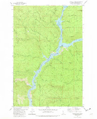
1981 Map of Township Butte
USGS Topo · Published 1982About this map
The North Fork Clearwater River and its impoundment, the Dworshak Reservoir, dominate this landscape within the St Joe National Forest. This 1981 record captures a transitional period for the Idaho backcountry, where traditional mountain infrastructure like the Telephone Trail and the Lookout Tower on No-see-um Ridge share space with the rising waters of the reservoir. Notable landmarks include the Grandad Bridge and the historical site of Camp X, reflecting the area's history of logging and forest management. The terrain is defined by prominent elevations such as Tamarack Ridge, Long Ridge, and Township Butte, with drainage systems like Robinson Creek and McIntyre Creek feeding into the central river system. The presence of underwater contours provided by the U.S. Army Corps of Engineers highlights the significant topographical change caused by the reservoir's construction.
Find a feature on this map
38 named features on this map. Tap any name to fly to it.
Don’t see what you’re looking for? This feature index may not catch every label — zoom into the map to look around manually.
Map Details
Editions of this 1981 Township Butte Map
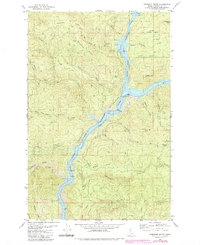
2 editions found
Other maps of this area

1923 · Washington Creek
USGS Topo · 1:125,000

1936 · Boehls Butte
USGS Topo · 1:48,000

1938 · Headquarters
USGS Topo · 1:48,000

1943 · Boehls Butte
USGS Topo · 1:62,500

1944 · Headquarters
USGS Topo · 1:62,500

1955 · Pullman
USGS Topo · 1:250,000

1956 · Hamilton
USGS Topo · 1:250,000

1958 · Pullman
USGS Topo · 1:250,000

1959 · Hamilton
USGS Topo · 1:250,000

1960 · Hamilton
USGS Topo · 1:250,000