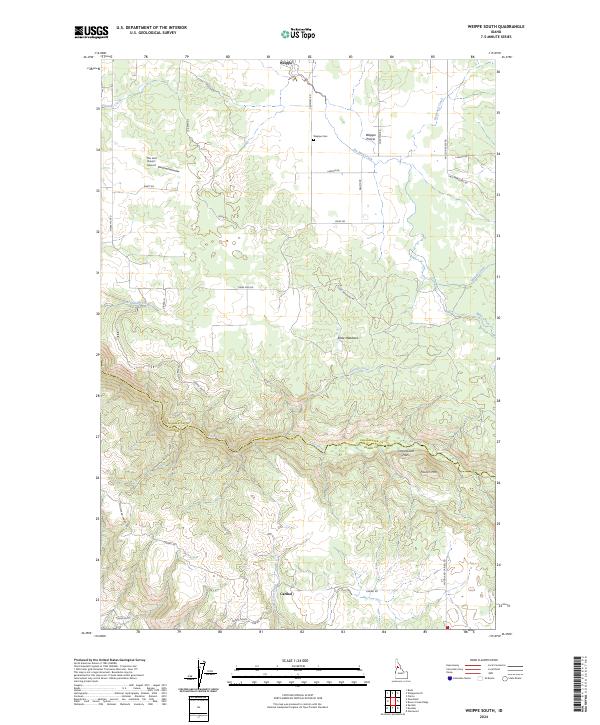
2024 Map of Weippe South
USGS Topo · Published 2024About this map
Weippe Prairie dominates the northern landscape of this region, serving as a historic upland opening within the heavily timbered terrain of the Clearwater and Idaho county border. The small settlement of Weippe sits at the northern edge, near the Weippe Cem, while the southern reaches descend into the deep drainage of Lolo Creek. This waterway, along with its tributaries like Tom Taha Creek and Grouse Creek, carves through the plateau to create distinctive landforms such as Cottonwood Flats and the high point of Paunch Mtn.
Find a feature on this map
39 named features on this map. Tap any name to fly to it.
Don’t see what you’re looking for? This feature index may not catch every label — zoom into the map to look around manually.
Map Details
Editions of this 2024 Weippe South Map
This is the sole edition of this map. No revisions or reprints were ever made.
Other maps of this area

1924 · Kamiah
USGS Topo · 1:125,000

1924 · Weippe
USGS Topo · 1:125,000

1955 · Pullman
USGS Topo · 1:250,000

1956 · Hamilton
USGS Topo · 1:250,000

1958 · Pullman
USGS Topo · 1:250,000

1959 · Hamilton
USGS Topo · 1:250,000

1960 · Hamilton
USGS Topo · 1:250,000

1964 · Hamilton
USGS Topo · 1:250,000

1966 · Kooskia
USGS Topo · 1:24,000

1966 · Pierce
USGS Topo · 1:24,000