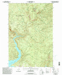
1994 Map of Elk Creek Falls
USGS Topo · Published 1997About this map
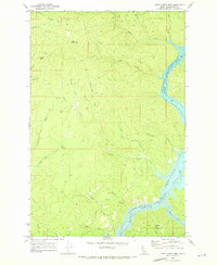
Dworshak Reservoir dominates the western landscape of this Clearwater County quadrangle, where the steep canyon topography meets the high-water line. This survey, revised in the mid-1990s, documents a transition between active forestry management and protected natural features. The Elk Creek Falls Recreation Area sits prominently in the north, protecting the descent of Elk Creek Falls amidst the St. Joe National Forest. Settlement patterns are sparse, characterized by isolated outposts such as Five Corners and Old Camp Y, while logging history is evidenced by topographic features like Rock Cut and the winding forest service roads. The map provides a clear record of the area's hydrology, tracing feeders like Cloverleaf Creek and Bull Run Creek as they navigate the ridges of Tick Ridge and Aldermand Ridge toward the reservoir basin.
Find a feature on this map
27 named features on this map. Tap any name to fly to it.
Don’t see what you’re looking for? This feature index may not catch every label — zoom into the map to look around manually.
Map Details
Editions of this 1994 Elk Creek Falls Map
This is the sole edition of this map. No revisions or reprints were ever made.
Other maps of this area

1955 · Pullman
USGS Topo · 1:250,000

1958 · Pullman
USGS Topo · 1:250,000

1961 · Ahsahka
USGS Topo · 1:62,500

1961 · Bovill
USGS Topo · 1:62,500

1969 · Elk River
USGS Topo · 1:24,000

1969 · Elk Creek Falls
USGS Topo · 1:24,000
1969 · Grangemont
USGS Topo · 1:24,000
1969 · Dent
USGS Topo · 1:24,000
1969 · Elk Butte
USGS Topo · 1:24,000
1969 · Little Green Mountain
USGS Topo · 1:24,000