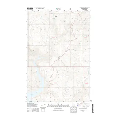
2014 Map of Elk Creek Falls
USGS Topo · Published 2014About this map
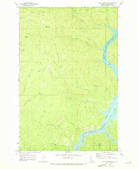
Dworshak Reservoir dominates the western edge of this terrain in the northern Clearwater region, where the landscape is defined by steep ridgelines and a network of tributary creeks. The survey captures the winding route of Elk River Rd as it traverses high ground, connecting the small settlement of Five Corners to the surrounding backcountry. This area is characterized by significant topographic relief, with named features such as Tick Ridge, Aldermand Ridge, and Elk Ridge separating deep drainages like Cloverleaf Cr and Long Meadow Cr.
Find a feature on this map
24 named features on this map. Tap any name to fly to it.
Don’t see what you’re looking for? This feature index may not catch every label — zoom into the map to look around manually.
Map Details
Editions of this 2014 Elk Creek Falls Map
This is the sole edition of this map. No revisions or reprints were ever made.
Other maps of this area

1955 · Pullman
USGS Topo · 1:250,000

1958 · Pullman
USGS Topo · 1:250,000

1961 · Ahsahka
USGS Topo · 1:62,500

1961 · Bovill
USGS Topo · 1:62,500

1969 · Elk River
USGS Topo · 1:24,000

1969 · Elk Creek Falls
USGS Topo · 1:24,000
1969 · Grangemont
USGS Topo · 1:24,000
1969 · Dent
USGS Topo · 1:24,000
1969 · Elk Butte
USGS Topo · 1:24,000
1969 · Little Green Mountain
USGS Topo · 1:24,000