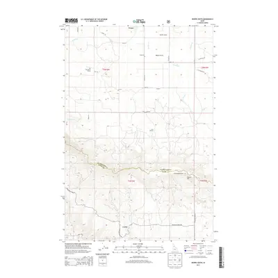
2013 Map of Weippe South
USGS Topo · Published 2013About this map
Weippe Prairie dominates the northern landscape of this Clearwater County quadrangle, where the small community of Weippe and the nearby Weippe Cem sit at the edge of the plateau. The terrain shifts dramatically to the south, descending into the deep drainage of Lolo Creek and the surrounding timberlands. This transition from the flat agricultural lands of the prairie to the steep, wooded draws of Kamiah Gulch and Paunch Mtn illustrates the varied topography of north-central Idaho. Local aviation is represented by The Last Resort Airport, while the tiny settlement of Caribel and the Jacobson locality reflect the area's rural history. Tracing along the Woodland Caribel Rd and Lacy Meadows Rd, one can see the established network of county roads that have long served the scattered ranches and logging operations near Cottonwood Flats and State Meadows.
Find a feature on this map
36 named features on this map. Tap any name to fly to it.
Don’t see what you’re looking for? This feature index may not catch every label — zoom into the map to look around manually.
Map Details
Editions of this 2013 Weippe South Map
This is the sole edition of this map. No revisions or reprints were ever made.
Other maps of this area

1924 · Kamiah
USGS Topo · 1:125,000

1924 · Weippe
USGS Topo · 1:125,000

1955 · Pullman
USGS Topo · 1:250,000

1956 · Hamilton
USGS Topo · 1:250,000

1958 · Pullman
USGS Topo · 1:250,000

1959 · Hamilton
USGS Topo · 1:250,000

1960 · Hamilton
USGS Topo · 1:250,000

1964 · Hamilton
USGS Topo · 1:250,000

1966 · Kooskia
USGS Topo · 1:24,000

1966 · Pierce
USGS Topo · 1:24,000