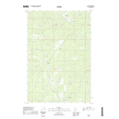
2020 Map of Jaype
USGS Topo · Published 2020About this map
Pierce sits at the southern edge of this Clearwater County landscape, serving as a focal point for a region defined by steep drainage networks and timber access roads. The settlement patterns of Jaype, Hollywood, and Cardiff are linked by Main Ave and Snake Creek Rd, tracing the winding valleys of Orofino Cr and Threemile Cr. This modern survey illustrates the enduring legacy of the local timber and fire protection infrastructure, anchored by the Cptpa Headquarters Airport in the northern hills. The terrain is deeply incised by historical mining and logging waterways, including Canal Gulch and East Canal Gulch, which feed into the larger creek systems. Moving west, the Campbell Ponds provide a distinct contrast to the narrow gulches and high ridges like those along Bald Mtn Rd, reflecting the complex water management required in this interior Idaho geography.
Find a feature on this map
39 named features on this map. Tap any name to fly to it.
Don’t see what you’re looking for? This feature index may not catch every label — zoom into the map to look around manually.
Map Details
Editions of this 2020 Jaype Map
This is the sole edition of this map. No revisions or reprints were ever made.
Other maps of this area

1923 · Washington Creek
USGS Topo · 1:125,000

1924 · Weippe
USGS Topo · 1:125,000

1938 · Headquarters
USGS Topo · 1:48,000

1944 · Headquarters
USGS Topo · 1:62,500

1956 · Hamilton
USGS Topo · 1:250,000

1959 · Hamilton
USGS Topo · 1:250,000

1960 · Hamilton
USGS Topo · 1:250,000

1964 · Hamilton
USGS Topo · 1:250,000

1965 · French Mountain
USGS Topo · 1:24,000

1966 · Pierce
USGS Topo · 1:24,000