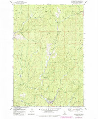
1981 Map of Headquarters
USGS Topo · Published 1985About this map
Headquarters stands as a central point of activity in the Clearwater region, surrounded by a complex network of timber and transit history. The landscape is defined by its significant drainage basins and ridgelines, including Silver Butte and the Beaver Creek Divide. An Old Railroad Grade winds through the northern sections near Silver Creek, illustrating the historical infrastructure required to navigate this steep, wooded environment. This 1980s-era documentation also captures recreational and utility features, such as the Harley Creek Scout Camp and the Sewage Disposal Ponds near the main settlement. The transition between water and mountain is evident at locations like Casey Meadow and Dull Axe Mountain, where high-elevation saddles like the Dull Axe Saddle connect major peaks.
Find a feature on this map
31 named features on this map. Tap any name to fly to it.
Don’t see what you’re looking for? This feature index may not catch every label — zoom into the map to look around manually.
Map Details
Editions of this 1981 Headquarters Map
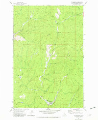
2 editions found
Other maps of this area

1923 · Washington Creek
USGS Topo · 1:125,000

1936 · Boehls Butte
USGS Topo · 1:48,000

1938 · Headquarters
USGS Topo · 1:48,000

1943 · Boehls Butte
USGS Topo · 1:62,500

1944 · Headquarters
USGS Topo · 1:62,500

1956 · Hamilton
USGS Topo · 1:250,000

1959 · Hamilton
USGS Topo · 1:250,000

1960 · Hamilton
USGS Topo · 1:250,000

1964 · Hamilton
USGS Topo · 1:250,000

1965 · French Mountain
USGS Topo · 1:24,000