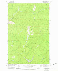
1981 Map of Headquarters
USGS Topo · Published 1982About this map
Headquarters serves as the primary focal point in this 1981 survey of the Idaho timberlands, situated near the confluence of Reeds Creek and Alder Creek. The map documents a landscape defined by forestry and outdoor recreation, featuring the Harley Creek Scout Camp and Drevlow Trees Campground nestled within the creek valleys. Evidence of earlier industrial infrastructure is preserved through the Old Railroad Grade and segments of the Camas Prairie line, which formerly facilitated the transport of timber from these remote Idaho ridges.
Find a feature on this map
28 named features on this map. Tap any name to fly to it.
Don’t see what you’re looking for? This feature index may not catch every label — zoom into the map to look around manually.
Map Details
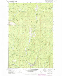
Editions of this 1981 Headquarters Map
2 editions found
Other maps of this area

1923 · Washington Creek
USGS Topo · 1:125,000

1936 · Boehls Butte
USGS Topo · 1:48,000

1938 · Headquarters
USGS Topo · 1:48,000

1943 · Boehls Butte
USGS Topo · 1:62,500

1944 · Headquarters
USGS Topo · 1:62,500

1956 · Hamilton
USGS Topo · 1:250,000

1959 · Hamilton
USGS Topo · 1:250,000

1960 · Hamilton
USGS Topo · 1:250,000

1964 · Hamilton
USGS Topo · 1:250,000

1965 · French Mountain
USGS Topo · 1:24,000