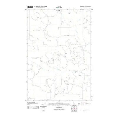
2011 Map of Weippe South
USGS Topo · Published 2011About this map
Weippe Prairie dominates the northern landscape of this Clearwater County region, where the town of Weippe serves as a central hub for a network of rural routes including Main St S and Cemetery Rd. The terrain transitions from the open flats of Cottonwood Flats to the more dramatic rise of Paunch Mountain in the southeast. Waterways such as Jim Ford Creek and Lolo Creek carve through the landscape, defining the drainage patterns of the area. This 2011 survey illustrates a region shaped by small settlements like Caribel and Jacobson, and long-established landmarks like the Weippe Cemetery. The road network, featuring Lolo Creek Rd and Woodland-Caribel Rd, reveals how modern transport follows the natural contours of the gulches and meadows, such as Kamiah Gulch and State Meadows.
Find a feature on this map
33 named features on this map. Tap any name to fly to it.
Don’t see what you’re looking for? This feature index may not catch every label — zoom into the map to look around manually.
Map Details
Editions of this 2011 Weippe South Map
This is the sole edition of this map. No revisions or reprints were ever made.
Other maps of this area

1924 · Kamiah
USGS Topo · 1:125,000

1924 · Weippe
USGS Topo · 1:125,000

1955 · Pullman
USGS Topo · 1:250,000

1956 · Hamilton
USGS Topo · 1:250,000

1958 · Pullman
USGS Topo · 1:250,000

1959 · Hamilton
USGS Topo · 1:250,000

1960 · Hamilton
USGS Topo · 1:250,000

1964 · Hamilton
USGS Topo · 1:250,000

1966 · Kooskia
USGS Topo · 1:24,000

1966 · Pierce
USGS Topo · 1:24,000