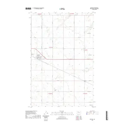
2020 Map of Berthold
USGS Topo · Published 2020About this map
Berthold serves as the primary hub of this Ward County landscape, where the local street grid including Main St N and Central Ave E intersects with the regional corridor of Co Hwy 10. The surrounding terrain is defined by a series of drainage features known as coulees, which carve through the plains to manage seasonal runoff. These include Blacks Coulee in the northeast and Lonetree Coulee near the settlement of Lonetree.
Find a feature on this map
38 named features on this map. Tap any name to fly to it.
Don’t see what you’re looking for? This feature index may not catch every label — zoom into the map to look around manually.
Map Details
Editions of this 2020 Berthold Map
This is the sole edition of this map. No revisions or reprints were ever made.
Other maps of this area

1949 · Hartland
USGS Topo · 1:24,000

1949 · Carpio NE
USGS Topo · 1:24,000

1949 · Carpio
USGS Topo · 1:24,000

1950 · Des Lacs
USGS Topo · 1:24,000

1954 · Minot
USGS Topo · 1:250,000

1958 · Minot
USGS Topo · 1:250,000

1980 · Minot
USGS Topo · 1:100,000

1980 · Rice Lake NW
USGS Topo · 1:24,000

1980 · Tagus SE
USGS Topo · 1:24,000
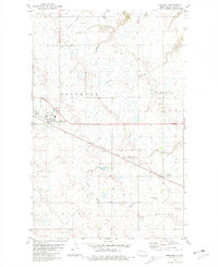
1980 · Berthold
USGS Topo · 1:24,000