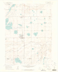
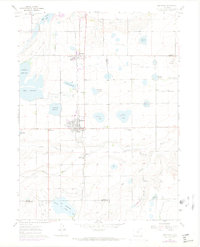
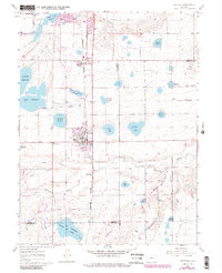
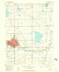
1960 Map of Berthoud
USGS Topo · Published 1963About this map
The town of Berthoud serves as a central hub on this 1960 survey, situated along the Colorado and Southern railroad. The surrounding landscape is defined by an intricate network of irrigation, including the Handy Ditch, South Side Ditch, and Home Supply Ditch, which feed numerous water bodies like Lonetree Reservoir and Loveland Reservoir. This complex water management system underscores the region's agricultural dependency on the Little Thompson River and Dry Creek.
Find a feature on this map
51 named features on this map. Tap any name to fly to it.
Don’t see what you’re looking for? This feature index may not catch every label — zoom into the map to look around manually.
Map Details
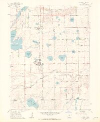
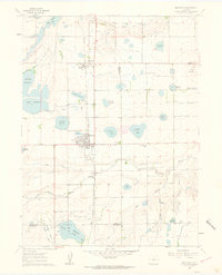
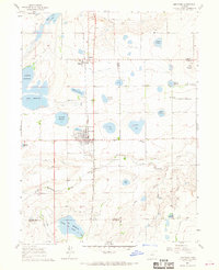
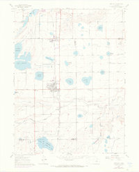
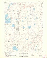
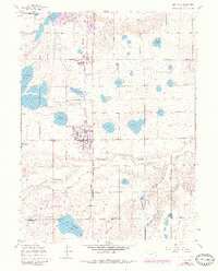
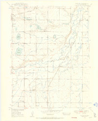
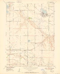
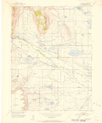
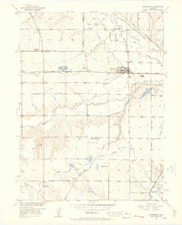
Editions of this 1960 Berthoud Map
9 editions found
Other maps of this area

1902 · Greeley
USGS Topo · 1:125,000

1904 · Niwot
USGS Topo · 1:62,500

1906 · Loveland
USGS Topo · 1:62,500

1908 · Loveland
USGS Topo · 1:62,500
1949 · Gowanda
USGS Topo · 1:24,000

1950 · Gowanda
USGS Topo · 1:24,000
1950 · Windsor
USGS Topo · 1:24,000
1950 · Hygiene
USGS Topo · 1:24,000
1950 · Longmont
USGS Topo · 1:24,000
1950 · Johnstown
USGS Topo · 1:24,000