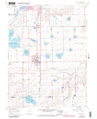
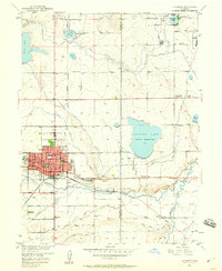
1960 Map of Berthoud
USGS Topo · Published 1984About this map
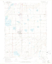
The Little Thompson River carves through this Larimer County landscape, defining a region where water management and agriculture have long shaped the community. The town of Berthoud serves as a central hub, flanked by an extensive network of irrigation features including Lonetree Reservoir, Welch Reservoir, and the significant Ish Reservoir (Boulder and Larimer Co Res) on the southern boundary. This map reveals the educational and social infrastructure of the mid-20th century, from the Campion Academy and Richards Sch to the Old Berthoud Sch. The Burlington Northern railroad corridor, running parallel to Burlington Avenue, illustrates the vital transport link connecting these agricultural settlements. Revisions shown in purple reflect the expansion of Loveland and Berthoud as they grew beyond their original footprints in the decades following the initial 1960 field check.
Find a feature on this map
35 named features on this map. Tap any name to fly to it.
Don’t see what you’re looking for? This feature index may not catch every label — zoom into the map to look around manually.
Map Details
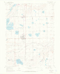
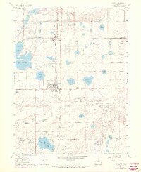
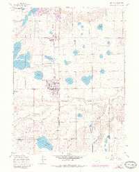
Editions of this 1960 Berthoud Map
9 editions found

Other maps of this area

1902 · Greeley
USGS Topo · 1:125,000

1904 · Niwot
USGS Topo · 1:62,500

1906 · Loveland
USGS Topo · 1:62,500

1908 · Loveland
USGS Topo · 1:62,500

1949 · Gowanda
USGS Topo · 1:24,000

1950 · Gowanda
USGS Topo · 1:24,000

1950 · Windsor
USGS Topo · 1:24,000

1950 · Hygiene
USGS Topo · 1:24,000
1950 · Longmont
USGS Topo · 1:24,000

1950 · Johnstown
USGS Topo · 1:24,000