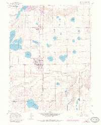
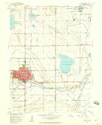
1960 Map of Berthoud
USGS Topo · Published 1984About this map
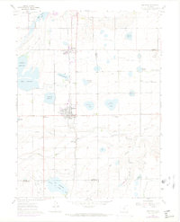
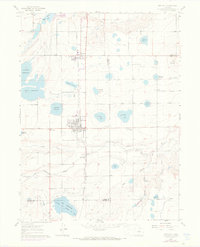
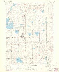
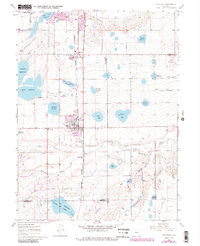
Agricultural development along the Larimer and Weld County line is defined by a dense network of irrigation infrastructure, including the Home Supply Ditch and Handy Ditch. The town of Berthoud serves as a central hub, flanked by the Burlington Avenue and Northern Avenue corridors. This landscape is shaped by the storage of water in numerous named basins such as Lonetree Reservoir and Ish Reservoir, essential for the high-plains farming economy of the mid-20th century.
Find a feature on this map
56 named features on this map. Tap any name to fly to it.
Don’t see what you’re looking for? This feature index may not catch every label — zoom into the map to look around manually.
Map Details
Editions of this 1960 Berthoud Map
9 editions found

Other maps of this area

1902 · Greeley
USGS Topo · 1:125,000

1904 · Niwot
USGS Topo · 1:62,500

1906 · Loveland
USGS Topo · 1:62,500

1908 · Loveland
USGS Topo · 1:62,500

1949 · Gowanda
USGS Topo · 1:24,000

1950 · Gowanda
USGS Topo · 1:24,000

1950 · Windsor
USGS Topo · 1:24,000

1950 · Hygiene
USGS Topo · 1:24,000
1950 · Longmont
USGS Topo · 1:24,000

1950 · Johnstown
USGS Topo · 1:24,000