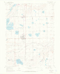
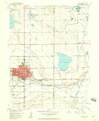
1960 Map of Berthoud
USGS Topo · Published 1970About this map
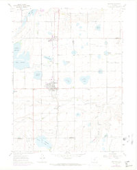
Berthoud serves as the central hub of this agricultural landscape at the edge of the Front Range, defined by an intricate network of irrigation systems and rail transport. The Colorado and Southern railroad tracks run north-south through the heart of the settlement, passing the Campion Academy and the smaller community of Campion. This period reveals a highly managed water economy, with the Handy Ditch, Lake Ditch, and South Side Ditch feeding numerous storage basins such as Lonetree Reservoir and Sunnyslope Reservoir. The presence of the Old Berthoud Sch and Greenlawn Cem provides clear markers for genealogical research in Larimer County. To the south, the Little Thompson River meanders across the plain, while the topography rises toward Twin Mounds in the northeast, illustrating the transition from river bottomlands to the elevated high plains.
Find a feature on this map
40 named features on this map. Tap any name to fly to it.
Don’t see what you’re looking for? This feature index may not catch every label — zoom into the map to look around manually.
Map Details
Editions of this 1960 Berthoud Map
9 editions found

Other maps of this area

1902 · Greeley
USGS Topo · 1:125,000

1904 · Niwot
USGS Topo · 1:62,500

1906 · Loveland
USGS Topo · 1:62,500

1908 · Loveland
USGS Topo · 1:62,500

1949 · Gowanda
USGS Topo · 1:24,000

1950 · Gowanda
USGS Topo · 1:24,000

1950 · Windsor
USGS Topo · 1:24,000

1950 · Hygiene
USGS Topo · 1:24,000
1950 · Longmont
USGS Topo · 1:24,000

1950 · Johnstown
USGS Topo · 1:24,000