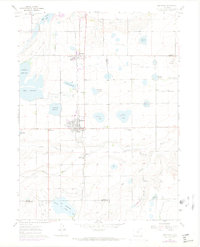
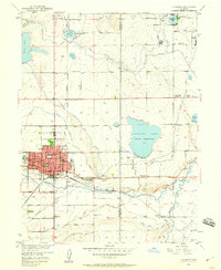
1960 Map of Berthoud
USGS Topo · Published 1970About this map
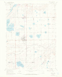
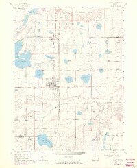
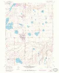
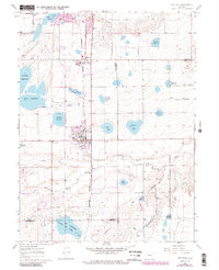
Agricultural development and water management define this Larimer County landscape during the late 1950s and 1960s. The town of Berthoud serves as a central hub, surrounded by a complex system of ditches and irrigation projects, including Berthoud Reservoir, Sunnyslope Reservoir, and the significant Ish Reservoir at the southern boundary. Transportation and commerce are anchored by the Colorado and Southern railroad running north-south through the village and Campion, while the Great Western rail line branches to the east toward Welty. Local social life and education are anchored by sites such as the Little Thompson Grange, Campion Academy, and the Old Berthoud Sch. The map's purple revisions reveal suburban growth around the municipal core and near Berts Corner, contrasting with the established fields near Twin Mounds and along the Little Thompson River.
Find a feature on this map
38 named features on this map. Tap any name to fly to it.
Don’t see what you’re looking for? This feature index may not catch every label — zoom into the map to look around manually.
Map Details
Editions of this 1960 Berthoud Map
9 editions found

Other maps of this area

1902 · Greeley
USGS Topo · 1:125,000

1904 · Niwot
USGS Topo · 1:62,500

1906 · Loveland
USGS Topo · 1:62,500

1908 · Loveland
USGS Topo · 1:62,500

1949 · Gowanda
USGS Topo · 1:24,000

1950 · Gowanda
USGS Topo · 1:24,000

1950 · Windsor
USGS Topo · 1:24,000

1950 · Hygiene
USGS Topo · 1:24,000
1950 · Longmont
USGS Topo · 1:24,000

1950 · Johnstown
USGS Topo · 1:24,000