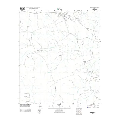
2012 Map of Bertram
USGS Topo · Published 2012About this map
Bertram serves as the primary hub of this Burnet County landscape, where the residential street grid gives way to the open ranch land of central Texas. To the southwest lies the historic settlement of Oatmeal, positioned along the banks of Oatmeal Cr. The terrain is characterized by winding watercourses and distinct landforms such as Buzzard Roost, illustrating a region defined more by its natural drainage patterns than by dense urban development.
Find a feature on this map
94 named features on this map. Tap any name to fly to it.
Don’t see what you’re looking for? This feature index may not catch every label — zoom into the map to look around manually.
Map Details
Editions of this 2012 Bertram Map
This is the sole edition of this map. No revisions or reprints were ever made.
Other maps of this area

1887 · Burnet
USGS Topo · 1:125,000

1893 · Georgetown
USGS Topo · 1:125,000

1893 · Burnet
USGS Topo · 1:125,000

1903 · Burnet
USGS Topo · 1:125,000

1909 · Burnet
USGS Topo · 1:125,000

1932 · Bertram
USGS Topo · 1:62,500

1954 · Llano
USGS Topo · 1:250,000

1954 · Austin
USGS Topo · 1:250,000

1955 · Llano
USGS Topo · 1:250,000

1956 · Llano
USGS Topo · 1:250,000