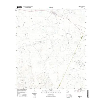
2016 Map of Bertram
USGS Topo · Published 2016About this map
Bertram serves as the primary hub in this Texas Hill Country landscape, situated where the rolling uplands begin to break into the drainage basins of the S Fork San Gabriel River. The area is defined by a series of distinct ridges and hollows, including the prominent Post Oak Ridge and the aptly named Flatrock Hollow, which shape the local road network. To the south, the community of Oatmeal maintains its historical identity, anchored by the Oatmeal Cemetery and the nearby Oatmill Cem.
Find a feature on this map
82 named features on this map. Tap any name to fly to it.
Don’t see what you’re looking for? This feature index may not catch every label — zoom into the map to look around manually.
Map Details
Editions of this 2016 Bertram Map
This is the sole edition of this map. No revisions or reprints were ever made.
Other maps of this area

1887 · Burnet
USGS Topo · 1:125,000

1893 · Georgetown
USGS Topo · 1:125,000

1893 · Burnet
USGS Topo · 1:125,000

1903 · Burnet
USGS Topo · 1:125,000

1909 · Burnet
USGS Topo · 1:125,000

1932 · Bertram
USGS Topo · 1:62,500

1954 · Llano
USGS Topo · 1:250,000

1954 · Austin
USGS Topo · 1:250,000

1955 · Llano
USGS Topo · 1:250,000

1956 · Llano
USGS Topo · 1:250,000