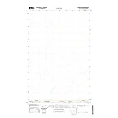
2014 Map of Bertrand Creek OE N
USGS Topo · Published 2014About this map
The international border between the Canada United States of America and Washington state defines the southern edge of this map, highlighting the remote rural landscape north of the boundary line. Located within Whatcom Co, the area is characterized by a dense network of streams and creeks that drain the terrain. W Boundry Rd provides access along the border, while the interior landscape remains largely dominated by natural watercourses and sparse development. This map serves as a contemporary record of the trans-border hydrology and land divisions in the early twenty-first century.
Find a feature on this map
6 named features on this map. Tap any name to fly to it.
Don’t see what you’re looking for? This feature index may not catch every label — zoom into the map to look around manually.
Map Details
Editions of this 2014 Bertrand Creek OE N Map
This is the sole edition of this map. No revisions or reprints were ever made.
Other maps of this area

1906 · Sumas
USGS Topo · 1:62,500

1907 · Blaine
USGS Topo · 1:62,500

1908 · Sumas
USGS Topo · 1:62,500

1952 · Bertrand Creek
USGS Topo · 1:24,000

1952 · Lynden
USGS Topo · 1:24,000

1952 · Blaine
USGS Topo · 1:24,000

1952 · Blaine
USGS Topo · 1:62,500

1954 · Lynden
USGS Topo · 1:62,500

1957 · Victoria
USGS Topo · 1:250,000

1975 · Bellingham
USGS Topo · 1:100,000