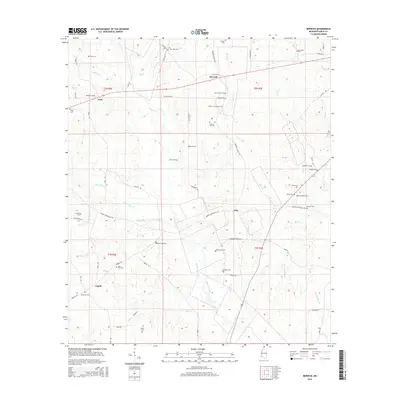
2015 Map of Berwick
USGS Topo · Published 2015About this map
Ariel and Berwick anchor this Amite County landscape, defined by a dense network of family-named cemeteries and rural intersections. The map reveals a settlement pattern where small communities like Olio and Capell are surrounded by burial grounds such as Bethany Cem, Smiley Cem, and Rose Hill Cem, providing significant data for genealogical research.
Find a feature on this map
73 named features on this map. Tap any name to fly to it.
Don’t see what you’re looking for? This feature index may not catch every label — zoom into the map to look around manually.
Map Details
Editions of this 2015 Berwick Map
This is the sole edition of this map. No revisions or reprints were ever made.
Other maps of this area

1906 · Bayou Sara
USGS Topo · 1:125,000

1941 · Woodland
USGS Topo · 1:31,680

1941 · Norwood
USGS Topo · 1:31,680

1941 · Chipola
USGS Topo · 1:31,680

1945 · Norwood
USGS Topo · 1:31,680

1945 · Chipola
USGS Topo · 1:31,680

1953 · Natchez
USGS Topo · 1:250,000

1954 · Baton Rouge
USGS Topo · 1:250,000

1956 · Natchez
USGS Topo · 1:250,000

1956 · Baton Rouge
USGS Topo · 1:250,000