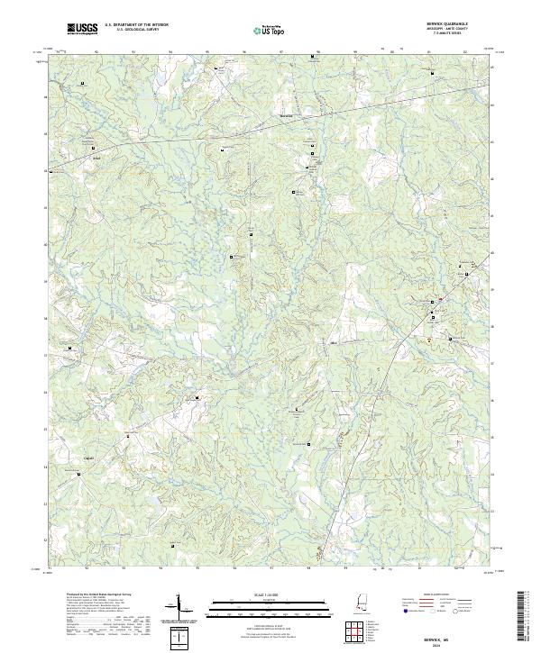
2024 Map of Berwick
USGS Topo · Published 2024About this map
Berwick and the surrounding rural landscapes of Amite County are defined by a dense network of family cemeteries and small creek systems that have shaped local settlement patterns for generations. The area around Ariel and Olio remains characterized by its dispersed community structure, where historical focal points like the Bethany Presbyterian Church Cem and Ebenezer Baptist Church Cem serve as critical landmarks for genealogical research. The terrain is intricately carved by waterways including Centreville Creek, Beaver Creek, and Mill Creek, which dictate the winding paths of local routes such as Lower Centreville Rd and Berwick Cassels Rd. The high concentration of named burial grounds, from the Smiley Cem to the Jerusalem Cem, underscores the deeply rooted family histories of this Mississippi region, providing a clear spatial record of the township and range divisions within T2N R2E and T1N R3E.
Find a feature on this map
75 named features on this map. Tap any name to fly to it.
Don’t see what you’re looking for? This feature index may not catch every label — zoom into the map to look around manually.
Map Details
Editions of this 2024 Berwick Map
This is the sole edition of this map. No revisions or reprints were ever made.
Other maps of this area

1906 · Bayou Sara
USGS Topo · 1:125,000

1941 · Woodland
USGS Topo · 1:31,680

1941 · Norwood
USGS Topo · 1:31,680

1941 · Chipola
USGS Topo · 1:31,680

1945 · Norwood
USGS Topo · 1:31,680

1945 · Chipola
USGS Topo · 1:31,680

1953 · Natchez
USGS Topo · 1:250,000

1954 · Baton Rouge
USGS Topo · 1:250,000

1956 · Natchez
USGS Topo · 1:250,000

1956 · Baton Rouge
USGS Topo · 1:250,000