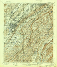
1907 Map of Bessemer Iron District
USGS Topo · Published 1942About this map
The industrial core of the Bessemer Iron District is captured here during a period of intense mining and metallurgical growth. The landscape is defined by the parallel ridges of Red Mountain and Shades Mountain, creating a natural corridor for the era's critical transportation networks. Heavy rail infrastructure, including the Alabama Great Southern Railroad and the Birmingham and Bessemer Ry (Electric), connects sprawling company towns like Woodward and Dolomite to the primary hubs of Bessemer and Birmingham.
Find a feature on this map
147 named features on this map. Tap any name to fly to it.
Don’t see what you’re looking for? This feature index may not catch every label — zoom into the map to look around manually.
Map Details
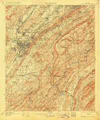
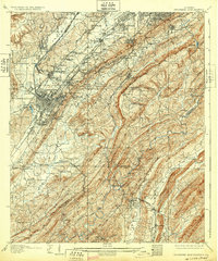
Editions of this 1907 Bessemer Iron District Map
4 editions found

Other maps of this area

1889 · Birmingham
USGS Topo · 1:125,000

1890 · Bessemer
USGS Topo · 1:125,000

1892 · Birmingham
USGS Topo · 1:125,000

1892 · Bessemer
USGS Topo · 1:125,000

1893 · Jasper
USGS Topo · 1:125,000

1895 · Birmingham
USGS Topo · 1:125,000

1899 · Brookwood
USGS Topo · 1:125,000

1904 · Birmingham Coal District
USGS Topo · 1:62,500

1905 · Bessemer Iron District
USGS Topo · 1:62,500

1905 · Leeds
USGS Topo · 1:62,500