
1907 Map of Bessemer Special
USGS Topo · Published 1907About this map
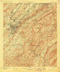
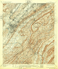
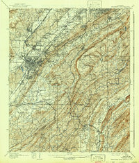
Birmingham and Bessemer anchor this industrial landscape during the height of the Alabama iron boom. The map reveals the intricate infrastructure of the Jones Valley, where the Alabama Great Southern R R and Birmingham Mineral R R lace together mines and settlements. Significant extractive sites like Redding and Ware are positioned along the slopes of Red Mountain, highlighting the geological proximity of ore that fueled the region's rapid growth.
Find a feature on this map
142 named features on this map. Tap any name to fly to it.
Don’t see what you’re looking for? This feature index may not catch every label — zoom into the map to look around manually.
Map Details
Editions of this 1907 Bessemer Special Map
4 editions found
Other maps of this area

1889 · Birmingham
USGS Topo · 1:125,000

1890 · Bessemer
USGS Topo · 1:125,000

1892 · Birmingham
USGS Topo · 1:125,000

1892 · Bessemer
USGS Topo · 1:125,000

1893 · Jasper
USGS Topo · 1:125,000

1895 · Birmingham
USGS Topo · 1:125,000

1899 · Brookwood
USGS Topo · 1:125,000

1904 · Birmingham Coal District
USGS Topo · 1:62,500

1905 · Bessemer Iron District
USGS Topo · 1:62,500

1905 · Leeds
USGS Topo · 1:62,500