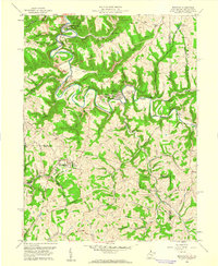
1959 Map of Bethany
USGS Topo · Published 1961About this map
Bethany College and the historical Alexander Campbell Mansion anchor this survey of the northern panhandle, where steep ridges and winding creek beds define the local geography. The landscape is characterized by its dual identity as both an academic hub and a rural industrial corridor, with McKinleyville and West Liberty serving as primary population centers. The presence of West Liberty State College in the south and Bethany to the north highlights the area's long-standing educational significance.
Find a feature on this map
64 named features on this map. Tap any name to fly to it.
Don’t see what you’re looking for? This feature index may not catch every label — zoom into the map to look around manually.
Map Details
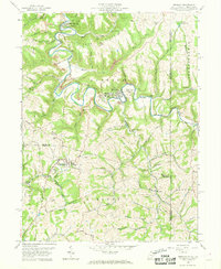
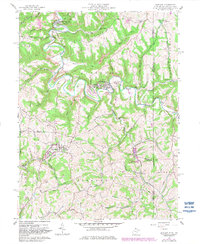
Editions of this 1959 Bethany Map
3 editions found
Other maps of this area

1902 · Wheeling
USGS Topo · 1:62,500

1904 · Steubenville
USGS Topo · 1:62,500

1904 · Burgettstown
USGS Topo · 1:62,500

1906 · Burgettstown
USGS Topo · 1:62,500

1907 · Claysville
USGS Topo · 1:62,500

1935 · Wheeling
USGS Topo · 1:62,500

1935 · Steubenville
USGS Topo · 1:62,500

1942 · Wheeling
USGS Topo · 1:62,500

1942 · Steubenville
USGS Topo · 1:62,500

1951 · Canton
USGS Topo · 1:250,000