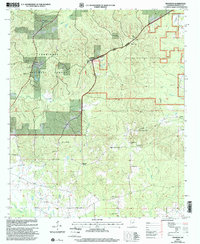
2000 Map of Betheden
USGS Topo · Published 2002About this map
The Tombigbee National Forest and Noxubee National Wildlife Refuge converge here, creating a landscape defined by federal land management and dispersed rural communities. Settlement patterns at the turn of the millennium are anchored by small centers like Webster and Betheden, which are connected by a network of light-duty roads winding through the undulating terrain. The area's social history is recorded in its numerous country churches and burial grounds, including Bevil Hill Ch, Mount Olive Ch, and Antioch Church Cem. Hydrologically, the land is carved by winding waterways such as Nanih Waiya Creek and Yellow Creek, with a localized economy indicated by a Sandpit and a Fish Farm near Webster. A Communication Tower and a large Pipeline corridor represent the modern infrastructure crossing this traditional Mississippi landscape.
Find a feature on this map
30 named features on this map. Tap any name to fly to it.
Don’t see what you’re looking for? This feature index may not catch every label — zoom into the map to look around manually.
Map Details
Editions of this 2000 Betheden Map
This is the sole edition of this map. No revisions or reprints were ever made.
Other maps of this area

1953 · West Point
USGS Topo · 1:250,000

1958 · West Point
USGS Topo · 1:250,000

1963 · West Point
USGS Topo · 1:250,000

1965 · Bluff Lake
USGS Topo · 1:24,000

1965 · Bradley
USGS Topo · 1:24,000

1972 · Louisville North
USGS Topo · 1:24,000
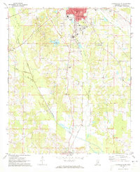
1972 · Louisville South
USGS Topo · 1:24,000

1972 · Sturgis
USGS Topo · 1:24,000
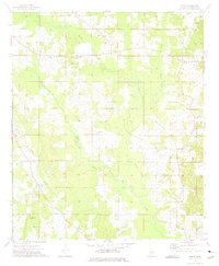
1973 · Boon
USGS Topo · 1:24,000
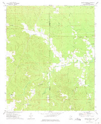
1973 · Fearns Springs
USGS Topo · 1:24,000