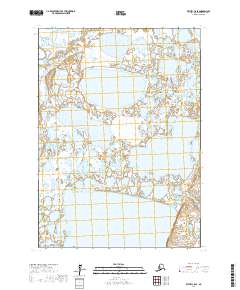
2017 Map of Bethel C-8 SE
USGS Topo · Published 2017About this map
Eek Lake dominates the southern landscape of this remote Yukon-Kuskokwim Delta region, set within a complex network of wetlands and tundra ponds. This 2017 survey by the U.S. Geological Survey illustrates the vast hydrography of the Bethel Census Area, where land and water merge into a shifting mosaic. The map primarily documents the Public Land Survey System divisions, specifically marking the boundaries of t6n r71w, t6n r70w, t5n r71w, and t5n r70w. These township and range identifiers provide essential structure for land management and local navigation in a terrain where distinct landmarks are few and seasonal changes redefine the shoreline of every basin.
Find a feature on this map
5 named features on this map. Tap any name to fly to it.
Don’t see what you’re looking for? This feature index may not catch every label — zoom into the map to look around manually.
Map Details
Editions of this 2017 Bethel C-8 SE Map
This is the sole edition of this map. No revisions or reprints were ever made.
Other maps of this area

1950 · Bethel
USGS Topo · 1:250,000

1954 · Bethel B-7
USGS Topo · 1:63,360

1954 · Bethel B-8
USGS Topo · 1:63,360

1954 · Bethel C-8
USGS Topo · 1:63,360
1954 · Bethel C-7
USGS Topo · 1:63,360

1980 · Bethel
USGS Topo · 1:250,000
2017 · Bethel B-8 NE
USGS Topo · 1:25,000
2017 · Bethel C-7 SW
USGS Topo · 1:25,000
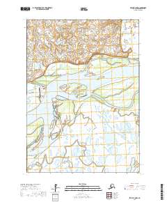
2017 · Bethel C-8 NW
USGS Topo · 1:25,000
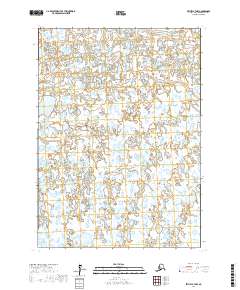
2017 · Bethel B-7 NW
USGS Topo · 1:25,000