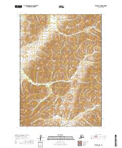
2019 Map of Bethel D-3 NE
USGS Topo · Published 2019About this map
Fog River winds through the southeastern corner of this Alaskan interior landscape, a region defined by high-elevation drainage systems and the complex hydrography of the Bethel Census Area. The terrain is marked by the seasonal flow of Tiny Gulch and Cale Cr in the north, while Slate Cr cuts a significant path through the central and western sections of the township. This 2019 survey documents the area as a roadless expanse of public lands, where the natural watercourses remain the primary geographic landmarks across the surveying boundaries of t10n r60w and its neighboring townships. The lack of built infrastructure highlights the persistence of this undeveloped wilderness near the turn of the twenty-first century.
Find a feature on this map
10 named features on this map. Tap any name to fly to it.
Don’t see what you’re looking for? This feature index may not catch every label — zoom into the map to look around manually.
Map Details
Editions of this 2019 Bethel D-3 NE Map
This is the sole edition of this map. No revisions or reprints were ever made.
Other maps of this area

1947 · Russian Mission
USGS Topo · 1:250,000

1950 · Russian Mission
USGS Topo · 1:250,000

1950 · Bethel
USGS Topo · 1:250,000

1954 · Russian Mission A-3
USGS Topo · 1:63,360

1954 · Bethel D-3
USGS Topo · 1:63,360

1979 · Bethel D-2
USGS Topo · 1:63,360

1979 · Russian Mission A-2
USGS Topo · 1:63,360

1980 · Russian Mission
USGS Topo · 1:250,000

1980 · Bethel
USGS Topo · 1:250,000
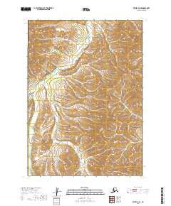
2019 · Bethel D-3 SE
USGS Topo · 1:25,000