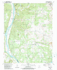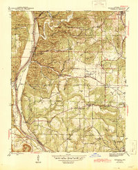
1942 Map of Bethesda
USGS Topo · Published 1945About this map
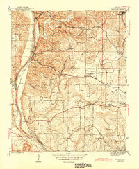
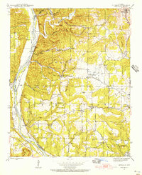
Cushman stands as a primary hub in the northeast corner of this 1940s landscape, where the Missouri Pacific railroad terminates near local mining operations. The rugged topography of Independence County is defined by the winding course of the White River, which forms the western boundary and is flanked by features like Island Slough and the Wells Ferry crossing. This era shows a distributed network of rural life, with community identity centered on small schools and churches such as Chinquapin Sch, New Hope Ch, and the Independence Sch.
Find a feature on this map
64 named features on this map. Tap any name to fly to it.
Don’t see what you’re looking for? This feature index may not catch every label — zoom into the map to look around manually.
Map Details
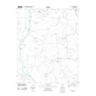
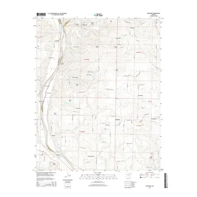
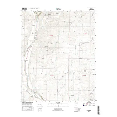
Editions of this 1942 Bethesda Map
4 editions found
Historical Maps of Cushman Through Time
7 maps found