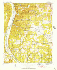
1942 Map of Bethesda
USGS Topo · Published 1956About this map
The White River carves a deep path through Independence County, anchoring the commercial and industrial landscape of the early 1940s. Along its banks, the Missouri Pacific railroad services small riverside hubs like Biltmore Switch and Walls Ferry, while Barnhearts Ferry provides a vital crossing point to the south. This terrain is defined by its extraction economy, evidenced by the Martin Mines, Mcbride Mines, and The Quarry located near the town of Bethesda.
Find a feature on this map
68 named features on this map. Tap any name to fly to it.
Don’t see what you’re looking for? This feature index may not catch every label — zoom into the map to look around manually.
Map Details
Editions of this 1942 Bethesda Map
4 editions found
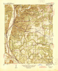
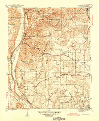
Other maps of this area

1890 · Batesville
USGS Topo · 1:125,000

1891 · Batesville
USGS Topo · 1:125,000

1942 · Bethesda
USGS Topo · 1:24,000

1942 · Jamestown
USGS Topo · 1:31,680

1942 · Almond
USGS Topo · 1:31,680

1942 · Batesville
USGS Topo · 1:31,680

1942 · Mt Pleasant
USGS Topo · 1:31,680

1943 · Sandtown
USGS Topo · 1:24,000

1943 · Batesville
USGS Topo · 1:24,000

1953 · Memphis
USGS Topo · 1:250,000