
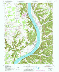
1953 Map of Bethlehem
USGS Topo · Published 1955About this map
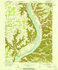
The Ohio River carves a deep valley between Clark and Jefferson counties in Indiana and Trimble County in Kentucky, defining the character of this mid-century landscape. Small settlements and river landings like Bethlehem and Wises Landing serve as focal points for a rural economy centered on the river's path. The terrain is characterized by sharp ridges and deep creek hollows, including Rodgers Ridge and Dog Ridge, which separate the various drainage basins of Big Saluda Creek and Pattons Creek.
Find a feature on this map
50 named features on this map. Tap any name to fly to it.
Don’t see what you’re looking for? This feature index may not catch every label — zoom into the map to look around manually.
Map Details
Editions of this 1953 Bethlehem Map
6 editions found
Other maps of this area

1905 · Prospect
USGS Topo · 1:62,500

1912 · Prospect
USGS Topo · 1:62,500

1932 · La Grange
USGS Topo · 1:62,500

1938 · Owen
USGS Topo · 1:24,000

1939 · Bethlehem
USGS Topo · 1:24,000

1939 · Madison West
USGS Topo · 1:24,000

1948 · Bethlehem
USGS Topo · 1:24,000

1948 · Madison West
USGS Topo · 1:24,000

1948 · Owen
USGS Topo · 1:24,000

1953 · Madison West
USGS Topo · 1:24,000