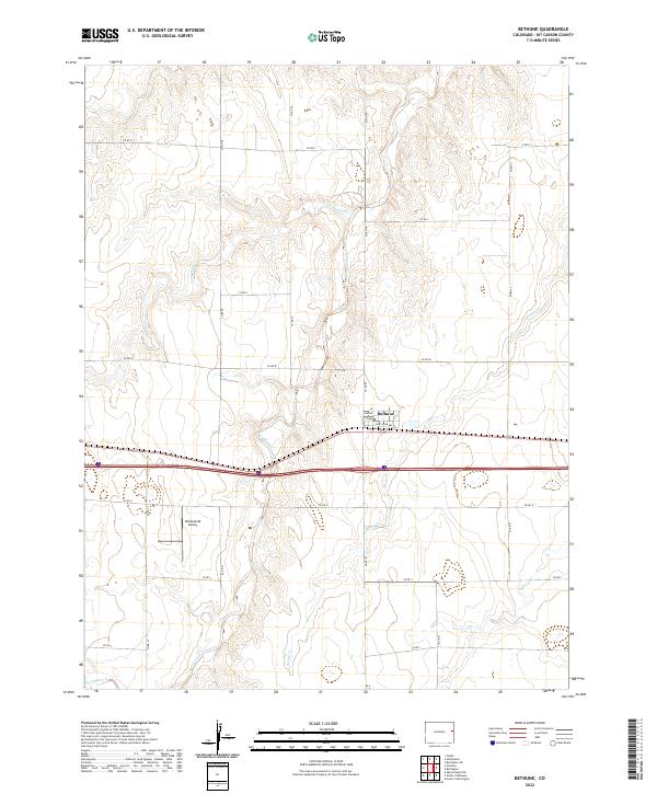
2022 Map of Bethune
USGS Topo · Published 2022About this map
Bethune serves as the central hub of this eastern Colorado plains landscape, where the residential grid is defined by streets like Pikes Peak Ave and 1st Ave. The surrounding terrain is a textbook example of the High Plains agricultural pattern, organized by a rigid system of county roads including Co RD Z and Co RD W that segment the prairie into large-scale sections. The hydrology of the area is characterized by intermittent drainages that carve subtle paths through the township, most notably Sevenmile Cr in the north and the winding course of Landsman Creek to the south. Aviation history is noted west of the main settlement at Hildebrandt Airport, while the broader landscape is etched by the seasonal flows of Bonny Cr and Beaver Cr, illustrating the vital role of water management in this arid region.
Find a feature on this map
21 named features on this map. Tap any name to fly to it.
Don’t see what you’re looking for? This feature index may not catch every label — zoom into the map to look around manually.
Map Details
Editions of this 2022 Bethune Map
This is the sole edition of this map. No revisions or reprints were ever made.
Other maps of this area

1954 · Limon
USGS Topo · 1:250,000

1957 · Limon
USGS Topo · 1:250,000

1958 · Limon
USGS Topo · 1:250,000

1969 · Alpine Ranch NE
USGS Topo · 1:24,000

1969 · Settlement
USGS Topo · 1:24,000

1969 · Tuttle
USGS Topo · 1:24,000

1969 · Bethune
USGS Topo · 1:24,000

1969 · Burlington
USGS Topo · 1:24,000

1969 · Burlington 3 NW
USGS Topo · 1:24,000

1969 · Stratton
USGS Topo · 1:24,000