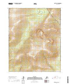
2017 Map of Bettles A-1 NW
USGS Topo · Published 2017About this map
The Alaska Pipeline and the adjacent Dalton Highway cut a precise north-south corridor through this remote interior landscape. This 2017 survey documents the critical infrastructure that connects the North Slope to the rest of the state, slicing through a topography defined by complex drainage patterns and shifting elevations. The map reveals the interplay between modern industrial engineering and the natural environment of the Yukon-Koyukuk region, where the road and pipeline serve as the primary human mark upon the land. Land surveyors will find the detailed township and range boundaries for T16n R14w, T16n R13w, T15n R14w, and T15n R13w essential for understanding the administrative division of this wilderness.
Find a feature on this map
6 named features on this map. Tap any name to fly to it.
Don’t see what you’re looking for? This feature index may not catch every label — zoom into the map to look around manually.
Map Details
Editions of this 2017 Bettles A-1 NW Map
This is the sole edition of this map. No revisions or reprints were ever made.
Other maps of this area

1951 · Bettles
USGS Topo · 1:250,000

1956 · Bettles
USGS Topo · 1:250,000

1970 · Bettles B-2
USGS Topo · 1:63,360
1970 · Bettles B-1
USGS Topo · 1:63,360
1970 · Bettles A-1
USGS Topo · 1:63,360
1970 · Bettles A-2
USGS Topo · 1:63,360
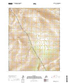
2017 · Bettles B-1 SW
USGS Topo · 1:25,000
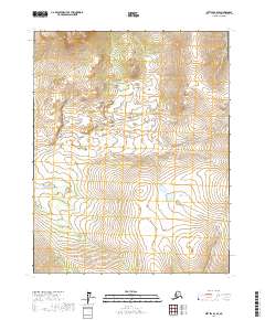
2017 · Bettles B-2 SE
USGS Topo · 1:25,000
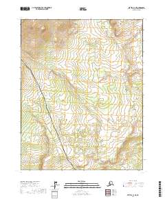
2017 · Bettles A-1 NE
USGS Topo · 1:25,000
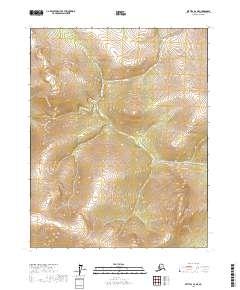
2017 · Bettles A-2 NE
USGS Topo · 1:25,000