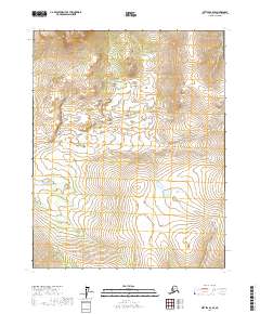
2017 Map of Bettles B-2 SE
USGS Topo · Published 2017About this map
Vast wetland complexes and low-elevation relief define this Interior Alaska terrain within the Yukon-Koyukuk Census Area. This region, mapped according to the Public Land Survey System, spans the intersection of townships t18n r15w, t18n r14w, t17n r15w, and t17n r14w. The landscape is dominated by a dense network of water features and saturated soils typical of the subarctic, reflecting the hydrographic data compiled between 2001 and 2015. Without permanent settlements or named landmarks printed on the sheet, the map serves as a primary record of the physical geography and land management boundaries during the early twenty-first century.
Find a feature on this map
4 named features on this map. Tap any name to fly to it.
Don’t see what you’re looking for? This feature index may not catch every label — zoom into the map to look around manually.
Map Details
Editions of this 2017 Bettles B-2 SE Map
This is the sole edition of this map. No revisions or reprints were ever made.
Other maps of this area

1951 · Bettles
USGS Topo · 1:250,000

1956 · Bettles
USGS Topo · 1:250,000

1970 · Bettles B-2
USGS Topo · 1:63,360
1970 · Bettles B-1
USGS Topo · 1:63,360
1970 · Bettles A-1
USGS Topo · 1:63,360
1970 · Bettles A-2
USGS Topo · 1:63,360
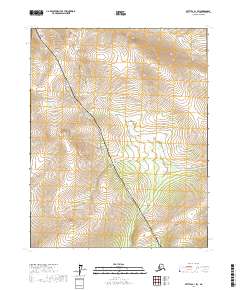
2017 · Bettles B-1 SW
USGS Topo · 1:25,000
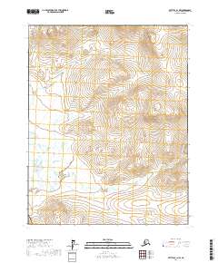
2017 · Bettles B-1 NW
USGS Topo · 1:25,000
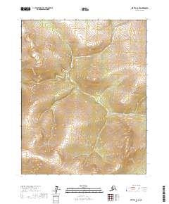
2017 · Bettles A-2 NE
USGS Topo · 1:25,000
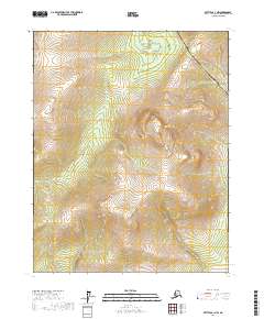
2017 · Bettles A-1 NW
USGS Topo · 1:25,000