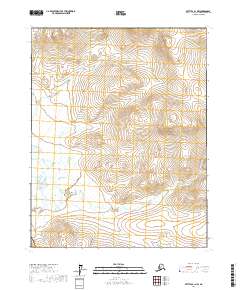
2017 Map of Bettles B-1 NW
USGS Topo · Published 2017About this map
The Kanuti River meanders through this interior Alaska landscape, forming the primary geographic artery for this portion of the Yukon-Koyukuk Census Area. Characterized by extensive wetlands and complex hydrography, the terrain is dotted with seasonal water bodies and marshes typical of the region's river basins. Olsons Lake sits as a prominent landmark in the southwestern quadrant, surrounded by the undulating contours of the northern wilderness. This 2017 survey by the U.S. Geological Survey utilizes high-resolution data to document the shifting course of the river and the intricate network of surrounding wetlands. The lack of named settlements or roads emphasizes the isolation of this environment, where the landscape remains defined by natural drainage patterns and the boundaries of the Public Land Survey System.
Find a feature on this map
6 named features on this map. Tap any name to fly to it.
Don’t see what you’re looking for? This feature index may not catch every label — zoom into the map to look around manually.
Map Details
Editions of this 2017 Bettles B-1 NW Map
This is the sole edition of this map. No revisions or reprints were ever made.
Other maps of this area

1951 · Bettles
USGS Topo · 1:250,000

1956 · Bettles
USGS Topo · 1:250,000

1970 · Bettles B-2
USGS Topo · 1:63,360
1970 · Bettles C-1
USGS Topo · 1:63,360

1970 · Bettles C-2
USGS Topo · 1:63,360
1970 · Bettles B-1
USGS Topo · 1:63,360
2017 · Bettles B-1 SW
USGS Topo · 1:25,000
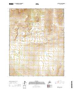
2017 · Bettles B-2 SE
USGS Topo · 1:25,000
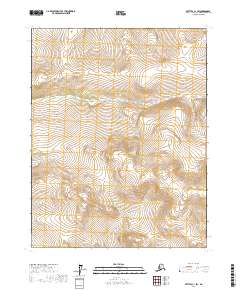
2017 · Bettles C-1 SW
USGS Topo · 1:25,000
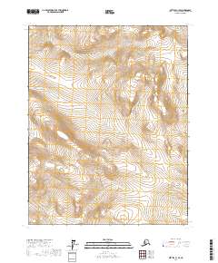
2017 · Bettles C-1 SE
USGS Topo · 1:25,000