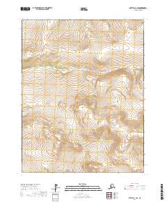
2017 Map of Bettles C-1 SW
USGS Topo · Published 2017About this map
Fish Creek flows through this interior landscape, cutting across the upper-central portion of the quadrangle. The terrain is defined by the Public Land Survey System boundaries of t21n r14w, t21n r13w, t20n r14w, and t20n r13w. These survey lines represent the fundamental organization of the Alaskan wilderness for land management and resource allocation.
Find a feature on this map
7 named features on this map. Tap any name to fly to it.
Don’t see what you’re looking for? This feature index may not catch every label — zoom into the map to look around manually.
Map Details
Editions of this 2017 Bettles C-1 SW Map
This is the sole edition of this map. No revisions or reprints were ever made.
Other maps of this area

1951 · Bettles
USGS Topo · 1:250,000

1956 · Bettles
USGS Topo · 1:250,000

1970 · Bettles B-2
USGS Topo · 1:63,360
1970 · Bettles C-1
USGS Topo · 1:63,360

1970 · Bettles C-2
USGS Topo · 1:63,360
1970 · Bettles B-1
USGS Topo · 1:63,360
2017 · Bettles B-1 NW
USGS Topo · 1:25,000
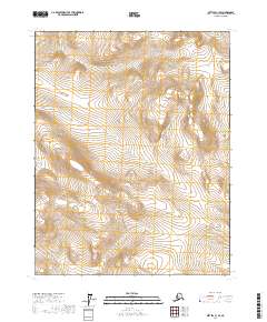
2017 · Bettles C-1 SE
USGS Topo · 1:25,000
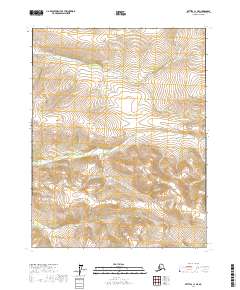
2017 · Bettles C-1 NE
USGS Topo · 1:25,000
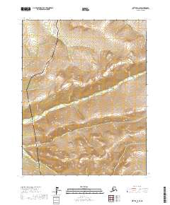
2017 · Bettles C-2 SE
USGS Topo · 1:25,000