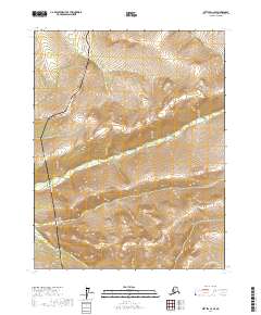
2017 Map of Bettles C-2 SE
USGS Topo · Published 2017About this map
The Alaska Pipeline and the Dalton Highway dominate this section of the Yukon-Koyukuk region, following a nearly parallel north-south trajectory through the interior wilderness. This 2017 survey illustrates the intersection of major industrial infrastructure with the natural drainage of Fish Cr, which meanders through the central terrain. The map's detail shows how the pipeline access route and the highway navigate the elevation changes between township boundaries, including t20n r14w and t21n r15w. For researchers, this document provides a specific look at the corridor's topographic footprint during the early 21st century, marking the precise path of one of the world's most significant energy conduits through the Alaskan subarctic.
Find a feature on this map
9 named features on this map. Tap any name to fly to it.
Don’t see what you’re looking for? This feature index may not catch every label — zoom into the map to look around manually.
Map Details
Editions of this 2017 Bettles C-2 SE Map
This is the sole edition of this map. No revisions or reprints were ever made.
Other maps of this area

1951 · Bettles
USGS Topo · 1:250,000

1956 · Bettles
USGS Topo · 1:250,000

1970 · Bettles B-2
USGS Topo · 1:63,360
1970 · Bettles C-1
USGS Topo · 1:63,360

1970 · Bettles C-2
USGS Topo · 1:63,360
1970 · Bettles B-1
USGS Topo · 1:63,360
2017 · Bettles C-2 SW
USGS Topo · 1:25,000
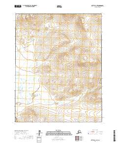
2017 · Bettles B-1 NW
USGS Topo · 1:25,000
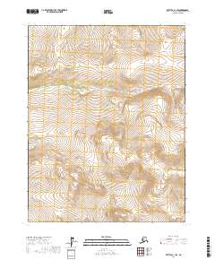
2017 · Bettles C-1 SW
USGS Topo · 1:25,000
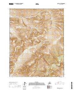
2017 · Bettles B-2 NW
USGS Topo · 1:25,000