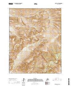
2017 Map of Bettles B-2 NW
USGS Topo · Published 2017About this map
The Kanuti River winds through the southeastern corner of this interior Alaskan wilderness, cutting through the vast northern landscape within the t18n r15w and t19n r15w townships. This 2017 survey reveals the intricate relief of the northern foothills, where the absence of roads or permanent settlements emphasizes the region's character as an untouched corridor for the river's path. Elevation contours detail the rising ground northwest of the waterway, marking the transition between the river valley and the higher terrain of the Yukon-Koyukuk Census Area. This map captures the topography of a remote section of the Koyukuk watershed in its contemporary, undeveloped state.
Find a feature on this map
5 named features on this map. Tap any name to fly to it.
Don’t see what you’re looking for? This feature index may not catch every label — zoom into the map to look around manually.
Map Details
Editions of this 2017 Bettles B-2 NW Map
This is the sole edition of this map. No revisions or reprints were ever made.
Other maps of this area

1951 · Bettles
USGS Topo · 1:250,000

1956 · Bettles
USGS Topo · 1:250,000

1970 · Bettles B-2
USGS Topo · 1:63,360
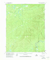
1970 · Bettles B-3
USGS Topo · 1:63,360

1970 · Bettles C-2
USGS Topo · 1:63,360
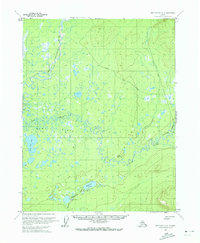
1970 · Bettles C-3
USGS Topo · 1:63,360
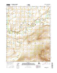
2016 · Bettles C-3 SE
USGS Topo · 1:25,000
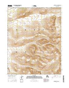
2016 · Bettles B-3 NE
USGS Topo · 1:25,000
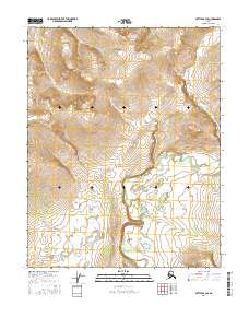
2016 · Bettles B-3 SE
USGS Topo · 1:25,000
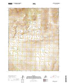
2017 · Bettles B-2 SE
USGS Topo · 1:25,000