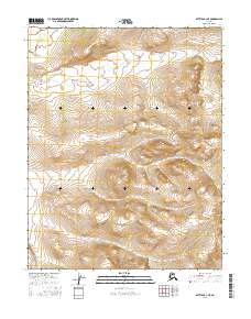
2016 Map of Bettles B-3 NE
USGS Topo · Published 2016About this map
The interior of the Bettles B-3 NE quadrangle is defined by its topographic complexity, where the Public Land Survey System (PLSS) divides the territory into T19n R17w, T19n R16w, T18n R17w, and T18n R16w. Located in a remote portion of the Yukon-Koyukuk region, the landscape is largely characterized by significant elevation changes and high-latitude hydrological patterns. This 2016 survey provides a record of the raw terrain prior to any formal infrastructure development or named settlement, focusing on the natural contours and the systematic grid of township and range lines that govern land management in the Alaska interior.
Find a feature on this map
4 named features on this map. Tap any name to fly to it.
Don’t see what you’re looking for? This feature index may not catch every label — zoom into the map to look around manually.
Map Details
Editions of this 2016 Bettles B-3 NE Map
This is the sole edition of this map. No revisions or reprints were ever made.
Other maps of this area

1951 · Bettles
USGS Topo · 1:250,000

1956 · Bettles
USGS Topo · 1:250,000

1970 · Bettles B-2
USGS Topo · 1:63,360
1970 · Bettles B-3
USGS Topo · 1:63,360

1970 · Bettles C-2
USGS Topo · 1:63,360
1970 · Bettles C-3
USGS Topo · 1:63,360
2016 · Bettles B-3 SW
USGS Topo · 1:25,000
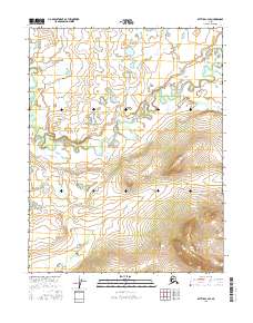
2016 · Bettles C-3 SE
USGS Topo · 1:25,000
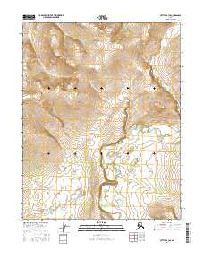
2016 · Bettles B-3 SE
USGS Topo · 1:25,000
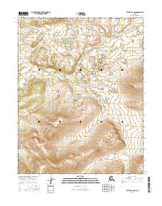
2016 · Bettles B-3 NW
USGS Topo · 1:25,000