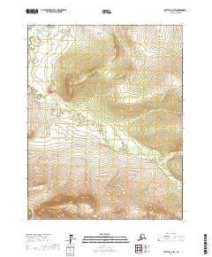
2017 Map of Bettles C-2 SW
USGS Topo · Published 2017About this map
Dalton Highway cuts through the eastern edge of this Interior Alaska landscape, serving as the primary lifeline for transport and commerce through the Yukon-Koyukuk region. The terrain is defined by the winding course of Fish Cr and Bonanza Creek, which carve through a mosaic of wetlands and rising elevations within the Brooks Range foothills. The map illustrates a largely unpopulated wilderness where survival depends on the narrow corridor of the highway, contrasting with the expansive natural drainages that dominate the township sections. This 2017 data provides a modern baseline for the hydrological patterns of Fish Cr and the topographic contours of the surrounding ridges, which rise sharply from the creek beds to over 2,400 feet.
Find a feature on this map
9 named features on this map. Tap any name to fly to it.
Don’t see what you’re looking for? This feature index may not catch every label — zoom into the map to look around manually.
Map Details
Editions of this 2017 Bettles C-2 SW Map
This is the sole edition of this map. No revisions or reprints were ever made.
Other maps of this area

1951 · Bettles
USGS Topo · 1:250,000

1956 · Bettles
USGS Topo · 1:250,000

1970 · Bettles B-2
USGS Topo · 1:63,360
1970 · Bettles B-3
USGS Topo · 1:63,360

1970 · Bettles C-2
USGS Topo · 1:63,360
1970 · Bettles C-3
USGS Topo · 1:63,360
2016 · Bettles C-3 SE
USGS Topo · 1:25,000
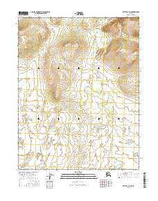
2016 · Bettles C-3 NE
USGS Topo · 1:25,000
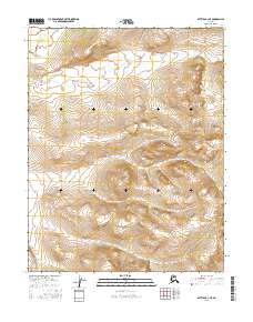
2016 · Bettles B-3 NE
USGS Topo · 1:25,000
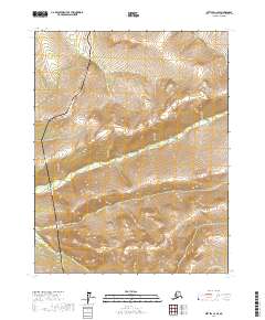
2017 · Bettles C-2 SE
USGS Topo · 1:25,000