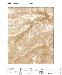
2017 Map of Bettles B-1 SE
USGS Topo · Published 2017About this map
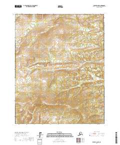
W Fork Dall River meanders across this interior landscape within the Yukon-Koyukuk region, defining the drainage patterns of a territory largely untouched by permanent settlement or infrastructure. The waterway is joined by Coal Creek, which cuts through the undulating topography in the eastern portion of the quadrangle. The 2017 data reflects a wilderness environment where geographic identification is tied primarily to natural hydrography and the administrative grid lines of the Public Land Survey System, such as t18n r12w. The lack of named roads or structures highlights the isolation of this terrain, making it a study in Alaskan wilderness hydrology and undeveloped land management.
Find a feature on this map
6 named features on this map. Tap any name to fly to it.
Don’t see what you’re looking for? This feature index may not catch every label — zoom into the map to look around manually.
Map Details
Editions of this 2017 Bettles B-1 SE Map
This is the sole edition of this map. No revisions or reprints were ever made.
Other maps of this area

1951 · Bettles
USGS Topo · 1:250,000

1951 · Beaver
USGS Topo · 1:250,000

1956 · Bettles
USGS Topo · 1:250,000

1956 · Beaver
USGS Topo · 1:250,000

1964 · Beaver
USGS Topo · 1:250,000

1970 · Beaver B-6
USGS Topo · 1:63,360
1970 · Beaver A-6
USGS Topo · 1:63,360
1970 · Bettles B-1
USGS Topo · 1:63,360
1970 · Bettles A-1
USGS Topo · 1:63,360
2017 · Beaver A-6 NW
USGS Topo · 1:25,000